Chibavi, Mzuzu

Last updated
Chibavi, Mzuzu
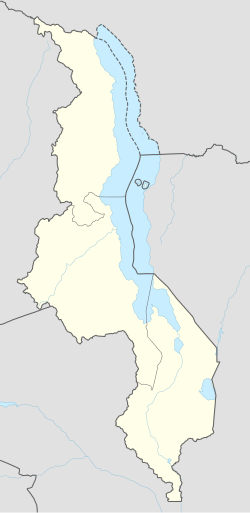
Malawi adm location map.svg
Red pog.svg
Chibavi, Mzuzu
Coordinates: 10°54′59″S34°01′00″E / 10.91639°S 34.01667°E / -10.91639; 34.01667
Country Malawi
Region Northern Region, Malawi
Municipality Mzuzu
Established1921
Government
  TypeUnitary presidential republic
Area
  Total
10.00 km2 (3.86 sq mi)
Population
 (2018)
  Total
12,529
  Density1,300/km2 (3,200/sq mi)
Racial makeup (2018)
  Black African96.3%
  Asian1.9%
  White Malawian1.8%
First languages (2018)
   Tumbuka 90.0%
   Chewa 3.7%
   Tonga 3.1%
  Other3.2%
Time zone UTC+2 (CAT)

Chibavi, also written as Chiwavi, is a populated township in Northern Region, Malawi. [1] [2] [3] It is located in Mzuzu city. Its neighbourhood include Luwinga, Mchengautuba, and Chiputula. [4] The area is known for its violence. [5]
Contents

Geography

Chibavi is located North-West of Mzuzu city. The area is located east of Mchengautuwa (literary: white sand) river. The population was recorded as 12,529 in over 2,088 households, of which 207 were sampled.

History

Chibavi got its name from deadly Caterpillars that were common in the area. It is a Tumbuka word that means "caterpillar".

Institutions

Institutions found in Chibavi include:

References

  1. Kumwenda, Tobias (2018-05-07). "Chibavi inhabitants forced to live with rubbish". Malawi 24. Retrieved 2024-04-12.
  2. MANAonline. "Rains destroy houses in Mzuzu's Chibavi West Ward". www.manaonline.gov.mw. Retrieved 2024-04-12.
  3. 1 2 "Mzuzu City MP donates chairs to Chibavi Community Day Secondary School". www.nyasatimes.com. 2018-03-18. Retrieved 2024-04-12.
  4. "Allowances gala: How COVID-19 funds meant for Katawa, Chiputula markets got misused – Purple Innovations" . Retrieved 2024-03-17.
  5. Kondowe, Russell (2022-04-14). "One-year-old child murdered in Mzuzu Malawi 24". Malawi 24. Retrieved 2024-04-12.
  6. "Chibavi Primary School - Mzuzu - WorldPlaces". malawi.worldplaces.me. 2024-04-12. Retrieved 2024-04-12.