The Gotthard Pass or St. Gotthard Pass at 2,106 m (6,909 ft) is a mountain pass in the Alps traversing the Saint-Gotthard Massif and connecting northern Switzerland with southern Switzerland. The pass lies between Airolo in the Italian-speaking canton of Ticino, and Andermatt in the German-speaking canton of Uri, and connects further Bellinzona and Lugano to Lucerne, Basel, and Zurich. The Gotthard Pass lies at the heart of the Gotthard, a major transport axis of Europe, and it is crossed by three traffic tunnels, each being the world's longest at the time of their construction: the Gotthard Rail Tunnel (1882), the Gotthard Road Tunnel (1980) and the Gotthard Base Tunnel (2016). With the Lötschberg to the west, the Gotthard is one of the two main north-south routes through the Swiss Alps.

Cima di Castello is a mountain of the Bregaglia Range, located on the border between Italy and Switzerland. With a height of 3,379 metres (11,086 ft) above sea level, it is the second highest mountain in the Bregaglia Range. Its summit lies between the valleys of the Albigna and Forno Glacier and the valley of Val Mello.
The Cima del Rosso is a mountain of Pennine Alps, located on the border between Switzerland and Italy. It lies between the Val Divedro (Valais) and the Valle di Bognanco (Piedmont), east of the Portjengrat.

The Maiella is a massif in the Central Apennines, in Abruzzo, central Italy.

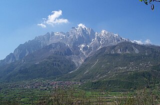
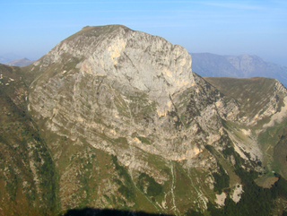
The Concarena is a mountain in Lombardy, northern Italy. It is multi summited and its highest peak is the Cima della Bacchetta, with a height of 2,549 m.

Monte Bo is a mountain in the Alpi Biellesi, a sub-range of Pennine Alps.

Pizzo Paglia is a mountain of the Lepontine Alps, overlooking the Val Cama in the canton of Graubünden. The border with Italy runs 300 metres south of the summit.

Val Grande National Park is a protected area located in Piedmont, in the north of Italy, at the border with Switzerland. It is most notable for landscapes of the High Alps.

The border between the modern states of Switzerland and Italy extends for 744 kilometres (462 mi), from the French-Swiss-Italian tripoint at Mont Dolent in the west to the Austrian-Swiss-Italian tripoint near Piz Lad in the east. Much of the border runs across the High Alps, rising above 4,600 metres (15,100 ft) as it passes east of Dufourspitze, but it also descends to the lowest point in Switzerland as it passes Lago Maggiore at below 200 metres (660 ft).

The Altemberg is a mountain in the Pennine Alps of north-western Italy; with an elevation of 2,395 m (7,858 ft) is the highest peak of the Alpi Cusiane.

The Bric Costa Rossa is a mountain of the Ligurian Alps located in Piedmont.

The Cima della Fascia is a mountain of the Ligurian Alps located in Piedmont.

The Monte Mongioie is a mountain of the Ligurian Alps located in Piedmont.

The Monte Antoroto is a mountain of the Ligurian Alps located in Piedmont.

The Monte Capezzone is a mountain in the Pennine Alps of north-western Italy; with an elevation of 2,421 m (7,943 ft) is the highest peak of the Strona Valley.

The Monte Zeda is a mountain in the Lepontine Alps belonging to the Province of Verbano-Cusio-Ossola (Italy).

The Cima Cars is a mountain of the Ligurian Alps located in Piedmont.

The Monte Fantino is a mountain of the Ligurian Alps located in Piedmont.


