Related Research Articles

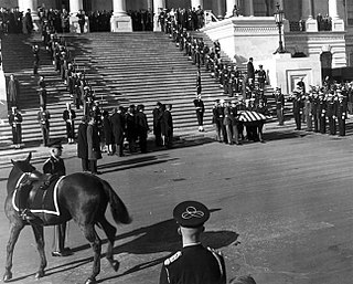
A coal-black Morgan-American Quarter Horse cross, Black Jack served in the Caisson Platoon of the 3rd U.S. Infantry Regiment. Named in honor of General of the Armies John J. "Black Jack" Pershing, he was the riderless horse in more than 1,000 Armed Forces Full Honors Funerals (AFFHF), the majority of which were in Arlington National Cemetery. With boots reversed in the stirrups, he was a symbol of a fallen leader.

Woodbridge Senior High School is a public secondary school located in Lake Ridge, Prince William County, Virginia, United States.

Sharon is an unincorporated community and coal town in southeastern Kanawha County, West Virginia, United States, located along the West Virginia Turnpike.
Brooke is an unincorporated community in Stafford County, Virginia, United States.

Kay Moor, also known as Kaymoor, is the site of an abandoned coal mine, coal processing plant and coal town near Fayetteville, West Virginia. The town site is located in the New River Gorge at Kaymoor Bottom (38°03′00″N81°03′17″W). It is linked to the mine portal 560 feet (170 m) above on Sewell Bench (38°02′52″N81°03′58″W) in the wall of the Gorge by conveyors.

Peoria is an unincorporated community in Liberty Township, Union County, Ohio, United States. It is located at 40°18′50″N83°26′45″W, along Raymond Road, about 1.75 miles south of Raymond and 6.5 miles northwest of Marysville.
Blantons is an unincorporated community in Caroline County, in the U.S. state of Virginia.

Cedon is an unincorporated community in Caroline County, in the U.S. state of Virginia.
Delos is an unincorporated community in Caroline County, in the U.S. state of Virginia.
Etta is an unincorporated community in Caroline County, in the U.S. state of Virginia.
Hicks Mill is an unincorporated community in Caroline County, in the U.S. state of Virginia.
Maryton is an unincorporated community in Caroline County, in the U.S. state of Virginia.

Paige is an unincorporated community in Caroline County, in the U.S. state of Virginia.

Port Royal Cross Roads is an unincorporated community in Caroline County, in the U.S. state of Virginia. The community is located where U.S. Route 301 crosses U.S. Route 17.
Rixey is an unincorporated community in Caroline County, in the U.S. state of Virginia.
Halifax Hills is an unincorporated community in Pittsylvania County, in the U.S. state of Virginia.
Broad Run is a 38.0-mile-long (61.2 km) tributary of the Occoquan River in the U.S. state of Virginia. It rises in Fauquier County and passes through Thoroughfare Gap. A gazetteer from the mid-nineteenth century described it as a small stream, a valuable mill stream.
Cedar Run is a 37.5-mile-long (60.4 km) tributary of the Occoquan River in the U.S. state of Virginia.

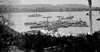
Belle Plains, Virginia was a steamboat landing and unincorporated settlement on the south bank of Potomac Creek off the Potomac River, in Stafford County, Virginia.
Millard is an unincorporated community in Dickenson County, Virginia, in the United States.
References
Coordinates: 38°26′45″N77°23′11″W / 38.44583°N 77.38639°W
| | This Stafford County, Virginia state location article is a stub. You can help Wikipedia by expanding it. |
