
The Dauphiné Alps are a group of mountain ranges in Southeastern France, west of the main chain of the Alps. Mountain ranges within the Dauphiné Alps include the Massif des Écrins in Écrins National Park, Belledonne, Le Taillefer range and the mountains of Matheysine.

Saisy is a commune in the Saône-et-Loire department in the region of Bourgogne-Franche-Comté in eastern France.

The Dents du Midi are a three-kilometre-long mountain range in the Chablais Alps in the canton of Valais, Switzerland. Overlooking the Val d'Illiez and the Rhône valley to the south, they face the Lac de Salanfe, an artificial reservoir, and are part of the geological ensemble of the Giffre massif. Their seven peaks are, from north-east to south-west: the Cime de l'Est, the Forteresse, the Cathédrale, the Éperon, the Dent Jaune, the Doigts and the Haute Cime. They are mainly composed of limestone rock, with gritty limestone rock in the upper parts.

The Col des Aravis is a mountain pass in the French Alps that connects the towns of La Clusaz in Haute-Savoie with La Giettaz in Savoie. At 1487 m it is the lowest pass in the Aravis Range of mountains.
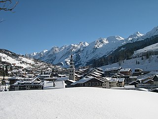
La Clusaz is a commune in the Haute-Savoie department in the Auvergne-Rhône-Alpes region in south-eastern France.

Col de la Forclaz is a mountain pass in the Alps in the Canton of Valais in Switzerland. It connects Martigny at 471 m (1,545 ft) and Le Châtelard (Finhaut). The road from Martigny to the Col has an average gradient of 6% but in parts is closer to 8%. After the Col, and Le Châtelard, the road leads to Chamonix in France via Vallorcine and the Col des Montets.

Col des Montets is a mountain pass in the French Alps in the Haute-Savoie department of France. It is on the road between Chamonix, the Swiss Col de la Forclaz and Martigny in the canton of Valais, Switzerland.

The Route des Grandes Alpes is a tourist itinerary through the French Alps between Lake Geneva and the French Riviera passing over all the high passes of the Alps within France.

Arette is a commune in the Pyrénées-Atlantiques department in the Nouvelle-Aquitaine region of southwestern France. It is located in the arrondissement of Oloron-Sainte-Marie and the canton of Oloron-Sainte-Marie-1.
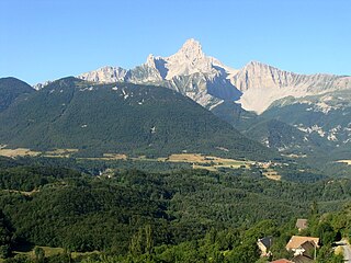
The Grande Tête de l'Obiou is a mountain in the French Prealps belonging to the French department of Isère. It is the highest peak of the Dévoluy Mountains and of the Dauphiné Prealps and the seventh most prominent summit of metropolitan France.

The Col de la Schlucht is a mountain pass in the Vosges Mountains of France. On the west side lies the historical region of Lorraine, on the east side lies the historical region of Alsace.

Colle delle Selle Vecchie or Col de la Celle Vieille at 2,097 m is a mountain pass in the Ligurian Alps. It connects the valleys of Roya in France and Tanaro in Italy.

The Colle dei Signori or Col des Seigneurs at 2,107 m is a mountain pass in the Ligurian Alps. It connects the valleys of Roya in France and Tanaro in Italy.
The Col de Teghime is a mountain pass in the Haute-Corse department of Corsica, France. The pass is in the south of the Monte Stello massif and is one of the main passes in the island.

The Col de Marsolino is a mountain pass in the Haute-Corse department of Corsica, France. The pass is in the west of the Monte Cinto massif. It connects Calvi and Calenzana to Galéria. Its low altitude allows it to be open almost all year round.

The Col des Bagenelles is a mountain pass at an altitude of 904 meters (2,966 ft) in the Vosges.

The Col de Prat-de-Bouc is a mountain pass at an altitude of 1,392 meters located in the Mounts of Cantal, in the department of the same name, within the Massif Central. It is situated east of the Plomb du Cantal. At the foot of the pass lies the Lioran resort and the Prat de Bouc - Haute Planèze Nordic area.
The Col de Néronne is a mountain pass located in the Massif Central in France. At an altitude of 1,241 meters, it is situated in the Auvergne-Rhône-Alpes region, in the Cantal department, on the border of the communes of Saint-Paul-de-Salers and Le Falgoux.

