College station (MetroLink)

Last updated

College
General information
Location2622 Carlyle Avenue
Belleville, Illinois
Coordinates 38°30′58″N89°55′10″W / 38.516248°N 89.919416°W / 38.516248; -89.919416
Owned by Bi-State Development
Operated by Metro Transit
Platforms1 island platform
Tracks2
Bus stands4 [1]
ConnectionsAiga bus trans.svg MetroBus Illinois: 16 [2]
Construction
Structure typeAt-grade
Parking623 spaces [3]
Bicycle facilities Racks, MetroBikeLink Trail
AccessibleYes
History
OpenedMay 5, 2001 [4]
Passengers
2018509 daily
Rank30 out of 38
Services
Preceding station St Louis MetroLink Logo.svg MetroLink Following station
Belleville Red Line Shiloh–Scott
Terminus

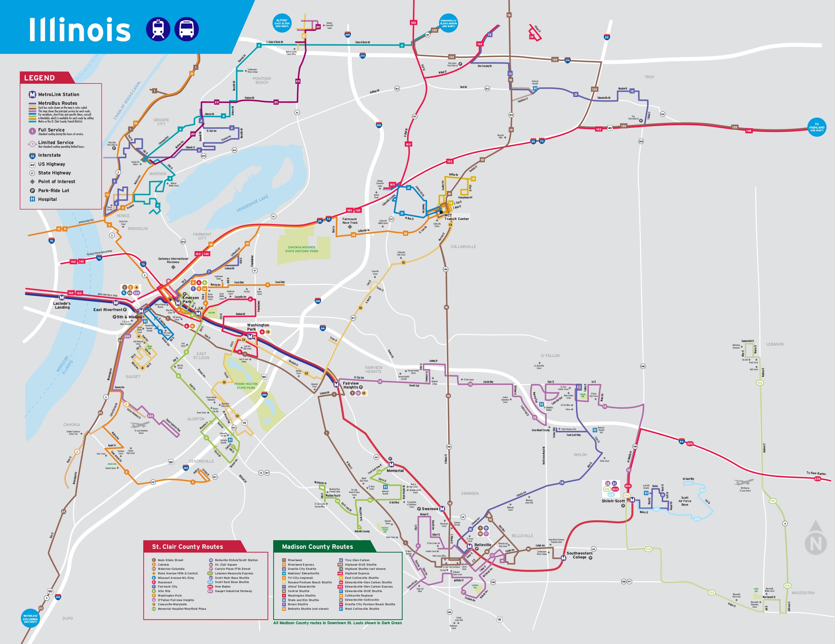
College station is a light rail station on the Red Line of the St. Louis MetroLink system. [5] This at-grade station serves Southwestern Illinois College on the eastern edge of Belleville, Illinois. It is also features MetroBus service and 623 park and ride spaces.

Contents

History

College has a connection to the St. Clair County Transit District's 14-mile (23 km) MetroBikeLink shared-use path system. This was the first segment of the MetroBikeLink system when it opened in 2002 and consisted of a 4-mile (6.4 km) trail, running from the Swansea station to Southwestern Illinois College. [6] Here, trail users can connect with pathways on the college campus and the East Belleville YMCA Loop Trail just north of Illinois Route 161.

Station layout

The island platform is accessed via a single ramp on its north end that connects to the bus boarding area and the park and ride lot.

StreetEntrance/exit, bus bays, park and ride
Westbound      Red Line toward Lambert Airport (Belleville)
Island platform, doors will open on the left
Eastbound      Red Line toward Shiloh–Scott (Terminus)

Notable places nearby

Related Research Articles

<span class="mw-page-title-main">MetroLink (St. Louis)</span> Light rail system in Missouri, US

MetroLink is a light rail system that serves the Greater St. Louis area. Operated by Metro Transit in a shared fare system with MetroBus, the two-line, 38-station system runs from St. Louis Lambert International Airport and Shrewsbury in Missouri to Scott Air Force Base in Illinois. Intermediate destinations include downtown Clayton, Forest Park, and downtown St. Louis. It is the only U.S. light rail system to cross state lines.

<span class="mw-page-title-main">Metro East</span> Region in Illinois, United States

The Metro East is an urban area in Southern Illinois, United States that contains the eastern and northern suburbs and exurbs of St. Louis, Missouri. It encompasses five counties in the Greater St. Louis area and constitutes the second-most populous urban area in Illinois. The region's most populated city is Belleville, with 42,404 residents.

<span class="mw-page-title-main">Metro Transit (St. Louis)</span> Public transit operator in the St. Louis metropolitan area

Metro Transit is an enterprise of the Bi-State Development Agency and operates public transportation services in the St. Louis region. In 2023, the system had an annual ridership of 19,528,200, or about 59,800 per weekday as of the fourth quarter of 2023.

<span class="mw-page-title-main">North Hanley station</span> St. Louis MetroLink station in Carsonville, Missouri

North Hanley station is a light rail station on the Red Line of the St. Louis MetroLink system. This at-grade station is located near the intersection of North Hanley Road and Interstate 70 and primarily serves North County commuters with a large MetroBus transfer and 1,731 park-and-ride spaces.

<span class="mw-page-title-main">Rock Road station</span> Station in St. Louis MetroLink light rail system, Missouri, USA

Rock Road station is a light rail station on the Red Line of the St. Louis MetroLink system. This at-grade station primarily serves commuters with a large MetroBus transfer and 191 park and ride spaces located in Pagedale, Missouri. The station's name comes from nearby St. Charles Rock Road, an important east–west artery in St. Louis County.

<span class="mw-page-title-main">Transportation in St. Louis</span>

Transportation in Greater St. Louis, Missouri includes road, rail, ship, and air transportation modes connecting the bi-state St. Louis metropolitan area with surrounding communities throughout the Midwest, national transportation networks, and international locations. The Greater St. Louis region also supports a multi-modal transportation network that includes bus, paratransit, and light rail service in addition to shared-use paths, bike lanes and greenways.

<span class="mw-page-title-main">Swansea station (MetroLink)</span> Station in St. Louis MetroLink light rail system, Illinois, USA

Swansea station is a light rail station on the Red Line of the St. Louis MetroLink system. This at-grade station is located in Swansea, Illinois between Illinois State Routes 159 and 161. It is primarily a commuter station with 751 park and ride spaces and MetroBus service.

5th & Missouri station is a light rail station on the Red and Blue lines of the St. Louis MetroLink system. This at-grade station is located in the former 5th Street right-of-way between Broadway and Missouri Avenue in downtown East St. Louis, Illinois.

Emerson Park station is a light rail station on the Red and Blue lines of the St. Louis MetroLink system. This at-grade station is located near 15th Street and Bowman Avenue in East St. Louis, Illinois. It also serves as a transfer for MetroBus and Madison County Transit and features 841 park and ride spaces.

Jackie Joyner-Kersee Center station is a light rail station on the Red and Blue lines of the St. Louis MetroLink system. This at-grade station is adjacent to the Jackie Joyner-Kersee Youth Center and just north of Interstate 64's exit 4B in East St. Louis, Illinois.

Washington Park station is a light rail station on the Red and Blue lines of the St. Louis MetroLink system. This at-grade station is located on the city limit line between East St. Louis, Illinois and Washington Park, Illinois.

Fairview Heights station is a light rail station on the Red and Blue lines of the St. Louis MetroLink system. This at-grade station is located on the western edge of Fairview Heights, Illinois near the intersection of St. Clair Avenue and Illinois Route 161. It is the eastern terminus of the Blue Line and has a pocket track allowing Blue Line trains to reverse directions and layover between runs.

Memorial Hospital station is a light rail station on the Red Line of the St. Louis MetroLink system. This below-grade station is located beneath an overpass on Frank Scott Parkway in Belleville, Illinois and has 431 park and ride spaces across three parking lots.

<span class="mw-page-title-main">Belleville station (MetroLink)</span> Station in St. Louis MetroLink light rail system, Illinois, USA

Belleville station is a light rail station on the Red Line of the St. Louis MetroLink system. This at-grade station bisects Scheel Street in the northern section of Belleville, Illinois approximately one-mile (1.6 km) from the center of town. It features a MetroBus transfer and 321 park and ride spaces.

<span class="mw-page-title-main">Shiloh–Scott station</span> St. Louis MetroLink station located adjacent to Scott Air Force Base in Shiloh, IL

Shiloh–Scott station is a light rail station and current terminus of the Red Line of the St. Louis MetroLink system. This at-grade station is located in Shiloh, Illinois, adjacent to Scott Air Force Base, after which the station is named.

<span class="mw-page-title-main">Madison County Transit</span> Public transit and bike trail system in Madison County, Illinois, U.S.

Madison County Transit, or MCT for short, is a bus and bike trail transportation system that serves the citizens of Madison County, which is located in Illinois approximately 20 miles (32 km) northeast of St. Louis. It was created in 1980 by the Madison County Board to improve transportation in Madison County, and is a completely separate transit system from the St. Louis Metro Transit system which includes MetroLink, which doesn't operate into Madison County, though the buses connect with many MetroBus routes and even serve MetroLink stations in East St. Louis, Belleville and Downtown St. Louis.

<span class="mw-page-title-main">Red Line (St. Louis MetroLink)</span>

The Red Line is the older and longer line of the MetroLink light rail system in Greater St. Louis. It serves 29 stations across three counties and two states.

<span class="mw-page-title-main">MetroBus (St. Louis)</span>

MetroBus is a public bus service operated by Metro Transit that serves the Greater St. Louis area. In 2023, the service had an annual ridership of 12,531,400, or about 39,400 per weekday as of the fourth quarter of 2023.

Magnolia Park Transit Center is a light rail and bus station in Houston, Texas on the METRORail system. It is the eastern terminus of the Green Line and is located on Harrisburg Boulevard at 70th Street in Magnolia Park, in the East End. Nearby the station are many restaurants and taquerias. The Magnolia Park shopping center is a half block down the street at Harrisburg and Sgt. Macario Garcia Drive.

<span class="mw-page-title-main">G Line Bikeway</span> Cycle route in Los Angeles County, California

The G Line Bikeway is a cycle route in Los Angeles County, California, that runs for 17.9 miles (28.8 km) and “spans the lengths of the San Fernando Valley’s major communities” from Chatsworth to Valley Glen, “connecting such places as Pierce College, the Sepulveda Basin Recreation Area, the Van Nuys Government Center and Valley College.”

References

  1. "Bus Bays" (PDF). Metro Transit . January 2021. p. 9. Retrieved May 23, 2023.
  2. "Illinois System Map" (Map). Metro Transit . April 2019. Retrieved May 23, 2023.
  3. "System Addresses". Metro Transit . Retrieved May 23, 2023.
  4. Leiser, Ken (April 30, 2001). "MetroLink Extension Opens This Weekend With Parking to Spare". The St. Louis Post-Dispatch . p. A9. Retrieved April 15, 2021 via Newspapers.com. Lock-green.svg
  5. "College Station". metrostlouis.org. Retrieved October 16, 2022.
  6. Cella, Kim (May 16, 2022). "SCCTD Encourages Use of the MetroBikeLink System During National Bike to Work Week". Citizens For Modern Transit. Retrieved October 15, 2022.