Swansea station (MetroLink)

Last updated

Swansea
Swansea Station (25389855441).jpg
Swansea station platform
General information
Location236 Metro Way
Swansea, Illinois
Coordinates 38°32′10″N89°59′13″W / 38.536023°N 89.986916°W / 38.536023; -89.986916
Owned by Bi-State Development
Operated by Metro Transit
Platforms1 island platform
Tracks2
Bus stands6 [1]
ConnectionsAiga bus trans.svg MetroBus Illinois: 16 [2]
Construction
Structure typeAt-grade
Parking751 spaces [3]
Bicycle facilities Racks, MetroBikeLink Trail
AccessibleYes
History
OpenedMay 5, 2001 (2001-05-05) [4]
Passengers
2018370 daily
Rank35 out of 38
Services
Preceding station St Louis MetroLink Logo.svg MetroLink Following station
Memorial Hospital Red Line Belleville
Location
Swansea station (MetroLink)

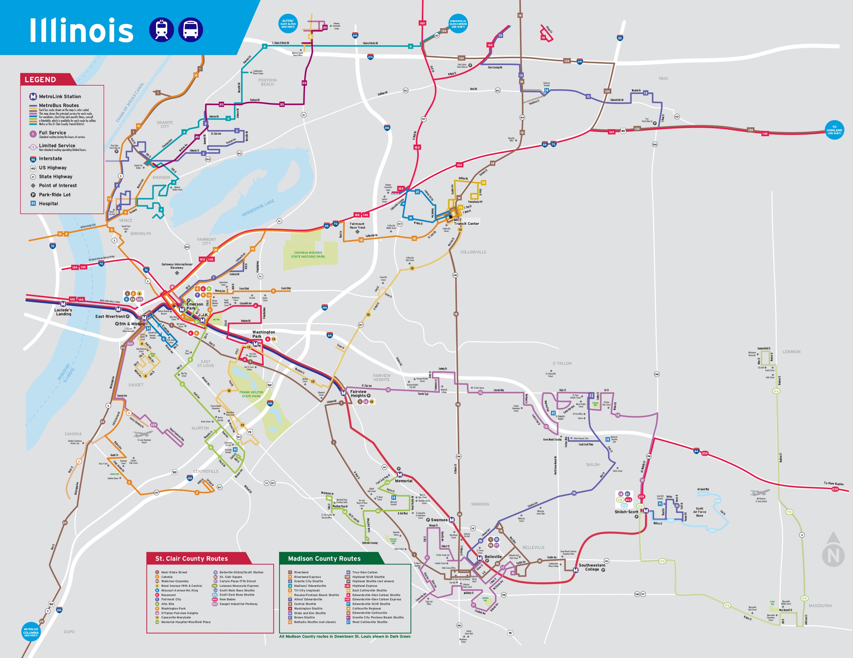
Swansea station is a light rail station on the Red Line of the St. Louis MetroLink system. [5] This at-grade station is located in Swansea, Illinois between Illinois State Routes 159 and 161. It is primarily a commuter station with 751 park and ride spaces and MetroBus service.

Contents

Also located at this station is a 16,690 square foot maintenance facility that provides workspace and storage for Metro's Illinois crews. [6]

History

Swansea has a connection to the St. Clair County Transit District's 14-mile (23 km) MetroBikeLink shared-use path system. This was the first segment of the MetroBikeLink system when it opened in 2002 and consisted of a 4-mile (6.4 km) trail, running from the Swansea station to Southwestern Illinois College. [7] Just south of this station, trail users can connect to the Richland Creek Greenway in Belleville, Illinois. [8]

In 2019, an $11 million transit-oriented development called Metro Landing of Swansea opened on a vacant lot next to the park and ride lot and caters to adults seeking an independent lifestyle at an affordable cost. [9]

Station layout

The island platform is accessed via a single ramp on its west end that connects to the bus boarding area on the north side of the tracks and the MetroBikeLink trail on the south side.

StreetEntrance/exit, bus bays, park and ride
Westbound      Red Line toward Lambert Airport (Memorial Hospital)
Island platform, doors will open on the left
Eastbound      Red Line toward Shiloh–Scott (Belleville)

Related Research Articles

<span class="mw-page-title-main">North Hanley station</span> St. Louis MetroLink station in Carsonville, Missouri

North Hanley station is a light rail station on the Red Line of the St. Louis MetroLink system. This at-grade station is located near the intersection of North Hanley Road and Interstate 70 and primarily serves North County commuters with a large MetroBus transfer and 1,731 park-and-ride spaces.

<span class="mw-page-title-main">UMSL–South station</span> Station in St. Louis MetroLink light rail system, Missouri, USA

UMSL–South station is a light rail station on the Red Line of the St. Louis MetroLink system. This at-grade station is located near East Drive and features 130 park and ride spaces.

<span class="mw-page-title-main">Rock Road station</span> Station in St. Louis MetroLink light rail system, Missouri, USA

Rock Road station is a light rail station on the Red Line of the St. Louis MetroLink system. This at-grade station primarily serves commuters with a large MetroBus transfer and 191 park and ride spaces located in Pagedale, Missouri. The station's name comes from nearby St. Charles Rock Road, an important east–west artery in St. Louis County.

<span class="mw-page-title-main">Wellston station</span> Station in St. Louis MetroLink light rail system, Missouri, USA

Wellston station is a light rail station on the Red Line of the St. Louis MetroLink system. This at-grade station primarily serves commuters featuring 243 park and ride spaces. The station gets its name from the inner-ring suburb of Wellston, Missouri where it is located.

<span class="mw-page-title-main">Forest Park–DeBaliviere station</span> Station in St. Louis MetroLink light rail system, Missouri, USA

Forest Park–DeBaliviere station is a light rail station on the Red and Blue lines of the St. Louis MetroLink system. This below-grade station is located at the northeast corner of Forest Park Parkway and DeBaliviere Avenue in St. Louis and is designated as the primary transfer point between the two lines.

<span class="mw-page-title-main">Civic Center station (MetroLink)</span> Station in St. Louis MetroLink light rail system, Missouri, USA

Civic Center station is a light rail station on the Red and Blue lines of the St. Louis MetroLink system. This below-grade station is located near 14th and Spruce streets near Interstate 64. It is also the primary transfer station for MetroBus and serves bus routes operated by Madison County Transit. Additionally, the station adjoins the Gateway Multimodal Transportation Center which has intercity services provided by Amtrak, Greyhound, and others.

<span class="mw-page-title-main">8th & Pine station</span> Station in St. Louis MetroLink light rail system, Missouri, USA

8th & Pine station is a light rail station on the Blue and Red lines of the St. Louis MetroLink system. This subway station is located beneath the intersection of 8th and Pine streets in St. Louis' Central Business District.

<span class="mw-page-title-main">Laclede's Landing station</span> Station in St. Louis MetroLink light rail system, Missouri, USA

Laclede's Landing station is a light rail station on the Red and Blue lines of the St. Louis MetroLink system. This elevated station is located in downtown St. Louis near Laclede's Landing.

<span class="mw-page-title-main">Transportation in St. Louis</span>

Transportation in Greater St. Louis, Missouri includes road, rail, ship, and air transportation modes connecting the bi-state St. Louis metropolitan area with surrounding communities throughout the Midwest, national transportation networks, and international locations. The Greater St. Louis region also supports a multi-modal transportation network that includes bus, paratransit, and light rail service in addition to shared-use paths, bike lanes and greenways.

<span class="mw-page-title-main">Clayton station</span> Station in St. Louis MetroLink light rail system, Missouri, USA

Clayton station is a light rail station on the Blue Line of the St. Louis MetroLink system. This at-grade station is located in the median of Forest Park Parkway between South Central Avenue and South Meramec Avenue in downtown Clayton.

<span class="mw-page-title-main">Shrewsbury–Lansdowne I-44 station</span> MetroLink station in Shrewsbury and St. Louis, Missouri

Shrewsbury–Lansdowne I-44 station is a light rail station on the Blue Line of the St. Louis MetroLink system. This station is located on an embankment near Lansdowne Avenue and River Des Peres Boulevard in St. Louis near its boundary with Shrewsbury in St. Louis County. The city limits between the two communities runs through the northern portion of the 800 space park and ride lot.

College station is a light rail station on the Red Line of the St. Louis MetroLink system. This at-grade station serves Southwestern Illinois College on the eastern edge of Belleville, Illinois. It is also features MetroBus service and 623 park and ride spaces.

Emerson Park station is a light rail station on the Red and Blue lines of the St. Louis MetroLink system. This at-grade station is located near 15th Street and Bowman Avenue in East St. Louis, Illinois. It also serves as a transfer for MetroBus and Madison County Transit and features 841 park and ride spaces.

Jackie Joyner-Kersee Center station is a light rail station on the Red and Blue lines of the St. Louis MetroLink system. This at-grade station is adjacent to the Jackie Joyner-Kersee Youth Center and just north of Interstate 64's exit 4B in East St. Louis, Illinois.

Washington Park station is a light rail station on the Red and Blue lines of the St. Louis MetroLink system. This at-grade station is located on the city limit line between East St. Louis, Illinois and Washington Park, Illinois.

Fairview Heights station is a light rail station on the Red and Blue lines of the St. Louis MetroLink system. This at-grade station is located on the western edge of Fairview Heights, Illinois near the intersection of St. Clair Avenue and Illinois Route 161. It is the eastern terminus of the Blue Line and has a pocket track allowing Blue Line trains to reverse directions and layover between runs.

Memorial Hospital station is a light rail station on the Red Line of the St. Louis MetroLink system. This below-grade station is located beneath an overpass on Frank Scott Parkway in Belleville, Illinois and has 431 park and ride spaces across three parking lots.

<span class="mw-page-title-main">Belleville station (MetroLink)</span> Station in St. Louis MetroLink light rail system, Illinois, USA

Belleville station is a light rail station on the Red Line of the St. Louis MetroLink system. This at-grade station bisects Scheel Street in the northern section of Belleville, Illinois approximately one-mile (1.6 km) from the center of town. It features a MetroBus transfer and 321 park and ride spaces.

<span class="mw-page-title-main">Madison County Transit</span> Public transit and bike trail system in Madison County, Illinois, U.S.

Madison County Transit, or MCT for short, is a bus and bike trail transportation system that serves the citizens of Madison County, which is located in Illinois approximately 20 miles (32 km) northeast of St. Louis. It was created in 1980 by the Madison County Board to improve transportation in Madison County, and is a completely separate transit system from the St. Louis Metro Transit system which includes MetroLink, which doesn't operate into Madison County, though the buses connect with many MetroBus routes and even serve MetroLink stations in East St. Louis, Belleville and Downtown St. Louis.

<span class="mw-page-title-main">MetroBus (St. Louis)</span>

MetroBus is a public bus service operated by Metro Transit that serves the Greater St. Louis area. In 2023, the service had an annual ridership of 12,531,400, or about 37,300 per weekday as of the first quarter of 2024.

References

  1. "Bus Bays" (PDF). Metro Transit . January 2021. p. 25. Retrieved May 23, 2023.
  2. "Illinois System Map" (Map). Metro Transit . April 2019. Retrieved May 23, 2023.
  3. "System Addresses". Metro Transit . Retrieved May 23, 2023.
  4. Leiser, Ken (April 30, 2001). "MetroLink Extension Opens This Weekend With Parking to Spare". The St. Louis Post-Dispatch . p. A9. Retrieved April 15, 2021 via Newspapers.com. Lock-green.svg
  5. "Swansea Station". metrostlouis.org. Retrieved October 15, 2022.
  6. "Transit Asset Management Plan FY2022" (PDF). East-West Gateway Council of Governments. September 21, 2022. p. 73. Retrieved February 11, 2024.
  7. Cella, Kim (May 16, 2022). "SCCTD Encourages Use of the MetroBikeLink System During National Bike to Work Week". Citizens For Modern Transit. Retrieved October 15, 2022.
  8. "Belleville Bike Trail/Richland Creek Greenway". Belleville, IL. Retrieved October 15, 2022.
  9. "Metro Landing of Swansea at the Swansea MetroLink Station". metrostlouis.org. Retrieved October 15, 2022.