
The Darling Downs is a farming region on the western slopes of the Great Dividing Range in southern Queensland, Australia. The Downs are to the west of South East Queensland and are one of the major regions of Queensland. The name was generally applied to an area approximating to that of the Condamine River catchment upstream of Condamine township but is now applied to a wider region comprising the Southern Downs, Western Downs, Toowoomba and Goondiwindi local authority areas. The name Darling Downs was given in 1827 by Allan Cunningham, the first European explorer to reach the area and recognises the then Governor of New South Wales, Ralph Darling.

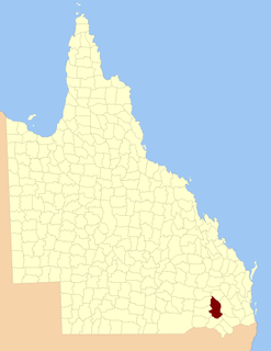
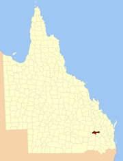
Clifton is a rural town and locality in the Toowoomba Region, Queensland, Australia. In the 2016 census, Clifton had a population of 1,456 people.

The Shire of Chinchilla was a local government area in the Darling Downs region of Queensland, Australia. The shire, administered from the town of Chinchilla, covered an area of 8,700.3 square kilometres (3,359.2 sq mi), and existed as a local government entity from 1912 until 2008, when it amalgamated with the Town of Dalby and the Shires of Murilla, Tara and Wambo and the southern part of Taroom to form the Western Downs Region.

The Shire of Murilla was a local government area located in the Darling Downs region of Queensland, Australia. The shire, administered from the town of Miles, covered an area of 6,075.8 square kilometres (2,345.9 sq mi), and existed as a local government entity from 1879 until 2008, when it amalgamated with the Town of Dalby and the Shires of Chinchilla, Tara and Wambo and the southern part of Taroom to form the Western Downs Region.
Darling Downs was an electoral district of the Legislative Assembly in the Australian state of Queensland. It was named for the Darling Downs region.

The Gums is a rural town and locality in the Western Downs Region, Queensland, Australia.

Kingsthorpe is a rural town and locality in the Toowoomba Region, Queensland, Australia. In the 2016 census, Kingsthorpe had a population of 1,867 people.

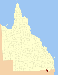
Karara is a town and locality in the Darling Downs region within the Queensland, Australia. It is in the Southern Downs Region local government area. In the 2016 census, Karara had a population of 123 people.

Macalister is a town and a locality in the Western Downs Region, Queensland, Australia.

The County of Aubigny is a county in Queensland, Australia. Like all counties in Queensland, it is a non-functional administrative unit, that is used mainly for the purpose of registering land titles. The county lies between 151°E and 152°E longitude, and it covers the Toowoomba Region and the Dalby part of the Western Downs Region, The county was named by the Surveyor-General of New South Wales in 1850, possibly to honour the Earl of Arundel who had a long association with the name Aubigny. The area was officially named and bounded by the Governor in Council on 7 March 1901 under the Land Act 1897.

The County of Newcastle is a county in the Wide Bay–Burnett region of Queensland, Australia. On 7 March 1901, the Governor issued a proclamation legally dividing Queensland into counties under the Land Act 1897. Its schedule described Newcastle thus:
Bounded on the east by the counties of Mackenzie and Boondooma; on the south by the Main Dividing Range; on the west by the eastern watershed of the Dawson River; on the north by the northern boundaries of the leased parts of Auburn and Hawkwood Runs and the Auburn River from the confluence of Narayen Creek downwards to its junction with the Burnett River.
The County of Clive is a county in the southern Darling Downs region of Queensland, Australia, on the state border with New South Wales. It was named and bounded by the Governor in Council on 7 March 1901 under the Land Act 1897.

The County of Marsh is a county in the southern Darling Downs region of Queensland, Australia, on the state border with New South Wales. It was named and bounded by the Governor in Council on 7 March 1901 under the Land Act 1897.
The County of Derby is a county in the Darling Downs region of Queensland, Australia. It was named and bounded by the Governor in Council on 7 March 1901 under the Land Act 1897.

The County of Lytton is a county in the Darling Downs region of Queensland, Australia. It was named and bounded by the Governor in Council on 7 March 1901 under the Land Act 1897.

Mount Irving is a rural locality in the Toowoomba Region, Queensland, Australia. In the 2016 census, Mount Irving had a population of 15 people.
Kleinton is a rural locality in the Toowoomba Region, Queensland, Australia. In the 2016 census, Kleinton had a population of 1,617 people.
Fairyland is a rural locality in the Western Downs Region, Queensland, Australia. In the 2016 census, Fairyland had a population of 67 people.
Auburn is a locality in the Western Downs Region, Queensland, Australia. In the 2016 census, Auburn had a population of 26 people.
Kings Creek is a rural locality in the Toowoomba Region, Queensland, Australia. In the 2016 census, Kings Creek had a population of 72 people.
