
Entre Ríos is a central province of Argentina, located in the Mesopotamia region. It borders the provinces of Buenos Aires (south), Corrientes (north) and Santa Fe (west), and Uruguay in the east.

The pauraque – also called the common pauraque to distinguish it from similar species – is a nightjar species, one of two birds in the genus Nyctidromus. It breeds in the subtropical and tropical of the New World, and except for northernmost birds it is largely resident all year round.
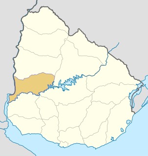
Río Negro Department is a department of the northwestern region of Uruguay. It has an area of 9,282 km2 (3,584 sq mi) and a population of 54,765. Its capital is Fray Bentos. It borders Paysandú Department to the north, Tacuarembó Department to the east, Durazno Department to the southeast, Soriano Department to the south and has the Río Uruguay flowing at its west, separating it from Argentina.

Florida is a department of Uruguay. Its capital is Florida. It is located in the south of the central part of the country with Durazno Department to its north, the departments of Treinta y Tres and Lavalleja to its east, Canelones Department to its south and the departments of Flores and San José to its west.

The Yí River is a river in Uruguay. The Yí and the Tacuarembó Rivers are the principal tributaries of the Río Negro.

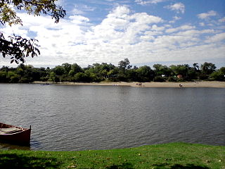
Cuchilla Alta is a seaside resort of the Costa de Oro, in Canelones Department of Uruguay, Montevideo.

The Quaraí or Cuareim River is a tributary of the Uruguay River.
The Chamangá River is a river in Uruguay.
The Porongos River is a river in Uruguay.
The Grande River (Uruguay) is a river in Uruguay.
Cerro Catedral, also known as Cerro Cordillera, is a peak and the highest point of Uruguay, with an altitude of 513.66 m (1,685.2 ft). It is located north of Maldonado Department, in the municipality of Aiguá, in a hill range named Sierra Carapé, which constitutes part of a larger range named Cuchilla Grande. Its name derived from the curious forms of the rocky elevations of its summit, which are very common in the southern part of this country.

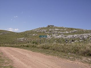
Sierra Carapé or Sierra de Carapé is a hill range located in Maldonado Department, in southern Uruguay. The range crosses the Maldonado Department from west to east and enters the Rocha Department.

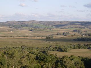
Cuchilla Grande is a hill range that crosses the east part of Uruguay from north to south. It extends from the south part of Cerro Largo Department, through the departments of Treinta y Tres and Lavalleja and ends in Maldonado Department where it forms its highest peaks.
The Cebollatí River is a Uruguayan river that rises in Cuchilla Grande, flows southwest to northeast and forms a border between Treinta y Tres and Rocha.

Cerro Pan de Azúcar is among the top 10 highest points of Uruguay, with an altitude of 423 metres (1,387.8 ft).

Sierra de las Ánimas is a hill range which starts in Lavalleja Department of Uruguay and extends south into Maldonado Department.

The Cuchilla de Haedo is a low range of hills located in the north-northwest of Uruguay, to the west of Tacuarembó, and running southwest toward Paysandú. It climbs no more than 500 m in height. This ridge is separated from the Cuchilla Grande to the south by the Río Negro valley.

Sierra Ballena Shear Zone or SBSZ is a sinistral strike-slip shear zone running across the Uruguayan Shield in eastern Uruguay and the Brazilian state of Rio Grande do Sul. The system was last active in the Precambrian.

The Rosario River is a river located in the Colonia Department of Uruguay. Its originates in Cuchilla Grande Inferior, near the limit with the departments of San José, Flores, and Soriano, and flows into the Río de la Plata.
Cuchilla, Spanish for blade or hill covered by grasslands may refer to:
