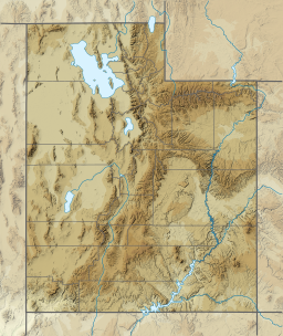
The Roan Cliffs are a series of desert mountains and cliffs in eastern Utah and western Colorado, in the western United States that are distinct from the Book Cliffs.

Eskdale is an unincorporated community in western Millard County, Utah, United States, just east of the Nevada border.
Chester is an unincorporated community in central Sanpete County, Utah, United States.
Hanna is an unincorporated community in western Duchesne County, Utah, United States, on the Uintah and Ouray Indian Reservation.
Lapoint is an unincorporated community in western Uintah County, Utah, United States.
The Kern Mountains are a mountain range primarily on the eastern edge of White Pine County, Nevada, United States, but extending slightly east into western Juab County, Utah.
Trout Creek is an unincorporated community, in far western Juab County, Utah, United States.
Ouray is an unincorporated village of the Uintah and Ouray Indian Reservation, located in west‑central Uintah County, Utah, United States.
Beaver Dam is an unincorporated community on the northeastern edge of Box Elder County, Utah, United States.
Little Salt Lake, is a dry lake in east‑central Iron County, Utah, United States.
Crescent Lake is a lake in northeastern Cache County, Utah, United States.
Crouse Creek is a stream in the Uinta Mountains near the eastern edge of Daggett County, Utah, United States.
Crystal Canyon is a canyon on the northeastern edge of Juab County, Utah, United States.
Crystal Spring is a spring in northern Beaver County, Utah, United States.
Cuddyback Lake is a lake in north-central Garfield County, Utah, United States.
Cunningham Wash is a wash in eastern Beaver County, Utah, United States.
Davis Lakes is a group of lakes near the northern edge of Duchesne County, Utah, United States.
Dead Lake is a lake in the Uinta Mountains in the northwestern corner of Uintah County, Utah, United States.
Jordanelle was a community in northern Wasatch County, Utah, United States.
Currant Creek is a stream in eastern Juab County and southern Utah County in northern Utah, United States.


