Shepperton is a village in the Spelthorne district, in north Surrey, England, around 15 mi (24 km) south west of central London. The settlement is on the north bank of the River Thames, between the towns of Chertsey and Sunbury-on-Thames. The village is mentioned in a document of 959 AD and in the Domesday Book.

Walton-on-Thames, known locally as Walton, is a market town on the south bank of the Thames in northwest Surrey, England. It is in the Borough of Elmbridge, about 15 mi (24 km) southwest of central London. Walton forms part of the Greater London Built-up Area, sits within the KT postcode, and is served by a wide range of transport links. According to the 2011 Census, the town has a total population of 22,834. The town itself consists mostly of suburban streets, with a historic town centre of Celtic origin. It is one of the largest towns in Elmbridge, alongside Weybridge.

The Thames Path is a National Trail following the River Thames from one of its sources near Kemble in Gloucestershire to the Woolwich foot tunnel, south east London. It is about 185 miles (298 km) long. A path was first proposed in 1948 but it only opened in 1996.

Wheatley's Ait or Wheatley Eyot is an ait (island) in the River Thames of approximately 8 hectares on the reach above Sunbury Lock, close to the northern side and in the post town Sunbury-on-Thames however in the Borough of Elmbridge in Surrey, England.

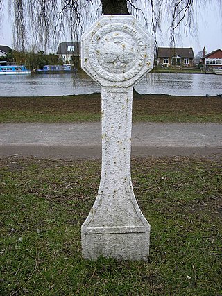
The Thames Conservancy was a body responsible for the management of that river in England. It was founded in 1857 to replace the jurisdiction of the City of London up to Staines. Nine years later it took on the whole river from Cricklade in Wiltshire to the sea at Yantlet Creek on the Isle of Grain. Its territory was reduced when the Tideway was transferred to the Port of London Authority in 1909.

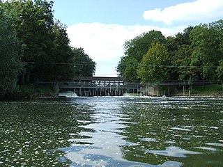
Boulter's Lock is a lock and weir on the River Thames in England north-east of Maidenhead town centre, Berkshire. The present 1912-built lock replaces those at this point of the river to the immediate east dating from the late 16th century and that of 1772 built by the Thames Navigation Commission. The lock is on the western side of the north–south flowing reach between the A4094 Maidenhead to Cookham road and Ray Mill Island. The name is variably used for the immediate surrounding area.

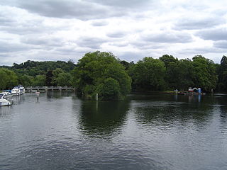
Pharaoh's Island is an island in the River Thames, in Surrey, England, 270 m (300 yd) upstream of Shepperton Lock.

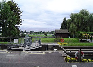
Shepperton Lock is a lock on the River Thames, in England by the left bank at Shepperton, Surrey. It is across the river from Weybridge which is nearby linked by a passenger ferry.

Weybridge Rowing Club, founded in 1881, is a rowing club by the Thames in England, on the Surrey bank. The club organises head races, notably the Weybridge Silver Sculls which has had Olympian winners and co-organises a May/June regatta. It consists of a wide range of members: juniors, novices, seniors, masters (veterans) – these include many past and present champions.

Desborough Island is a 112-acre (0.45 km2) manmade island in the River Thames on the reach above Sunbury Lock in Surrey, England. It was formed in the 1930s by the digging of a channel – the Desborough Cut – by the Thames Conservancy as a meander cutoff of narrow width on the right bank. The island and cut are named after Lord Desborough, a chairman of the Thames Conservancy.

The Shepperton branch line is a 6-mile-51-ch (10.7 km) railway branch line in Surrey and Greater London, England. It runs from its western terminus at Shepperton to a triangular junction with the Kingston loop line east of Fulwell. There are intermediate stations at Upper Halliford, Sunbury and Hampton. The branch also serves a dedicated station at Kempton Park racecourse. All six stations are managed by South Western Railway, which operates all passenger trains. Most services run between Shepperton and London Waterloo via Kingston, but during peak periods some run via Twickenham.

Sunbury Lock is a lock complex of the River Thames in England near Walton-on-Thames in north-west Surrey, the third lowest of forty four on the non-tidal reaches. The complex adjoins the right, southern bank about 1⁄2 mile (0.80 km) downstream of the Weir Hotel.

Walton Bridge is a road bridge across the River Thames in England, carrying the A244 between Walton-on-Thames and Shepperton, crossing the Thames on the reach between Sunbury Lock and Shepperton Lock.

Old Windsor Lock is a lock on the River Thames in England on the right bank beside Old Windsor, Berkshire. The lock marks the downstream end of the New Cut, a meander cutoff built in 1822 by the Thames Navigation Commissioners which created Ham Island. The lock and a wider footbridge give access to the island. Two weirs are associated; the smaller adjoins and the larger is upstream. The lock is the ninth lowest of the forty-five on the river.

Boveney Lock is a lock on the River Thames situated on the Buckinghamshire bank opposite the Windsor Racecourse and close to Eton Wick. Boveney is a village a little way upstream on the same side. The lock was first built in 1838 by the Thames Navigation Commission. The lock was rebuilt in 1898 closer to the Buckinghamshire bank, and a set of boat rollers were installed on the old site.

Culham Lock is a lock on the River Thames in England close to Culham, Oxfordshire. It is on a lock cut to the north of the main stream, which approaches the large village of Sutton Courtenay. The lock was built of stone by the Thames Navigation Commission in 1809.

The Shepperton to Weybridge Ferry is a pedestrian and cycle ferry service across the River Thames in Surrey, England. The service has operated almost continuously for over 500 years.

Tagg's Island is an ait (island) on the River Thames on the reach above Molesey Lock and just above Ash Island, located in the London Borough of Richmond upon Thames and part of Hampton. The island is roughly 400 metres long by 90 metres wide at its widest point, covering 6 acres. Although close to the Surrey bank near East Molesey, the island is connected to the further Middlesex bank by a single track road bridge, being the only island on the non-tidal Thames accessible by car.

Hamhaugh Island is an island, historically known simply as Stadbury, in the River Thames in England south of Shepperton Lock, in Shepperton, Surrey.

Sashes Island is an island in the River Thames in England at Cookham Lock near Cookham, Berkshire. It is now open farmland, but has Roman and Anglo-Saxon connections.


