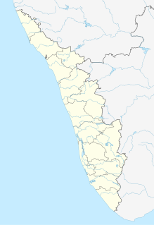
Puthunagaram is a village and gram panchayat in the Palakkad district, state of Kerala, India.

Athipattu is a census town in Chennai in Thiruvallur district in the state of Tamil Nadu, India. The neighbourhood is served by Athipattu railway station of the Chennai Suburban Railway network. it is a suburb in northern part of Chennai.
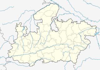
Bharveli is a census town in Balaghat district in the state of Madhya Pradesh, India.
Choornikkara is a census town in Aluva in Ernakulam District in Kerala, India.
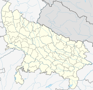
Dhampur is a city and a municipal board in Bijnor district in the state of Uttar Pradesh, India. It is located at 29.30°N 78.50°E, and lies in Northern India.

Ezhudesam is a town panchayat in Kanniyakumari district in the state of Tamil Nadu, India.

Gandai is a town and a nagar panchayat in Rajnandgaon district in the state of Chhattisgarh, India.

Ghorsala is a census town in Raghunathganj I CD Block in Jangipur subdivision of Murshidabad district in the Indian state of West Bengal.
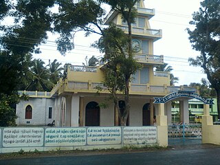
Kallukoottam is a panchayat town in Kanniyakumari district in the Indian state of Tamil Nadu.
Khalor is a census town in Bagnan I CD Block of Uluberia subdivision in Howrah district in the Indian state of West Bengal.
Kilpennathur is a Panchayat Town in Tiruvanamalai district in the Indian state of Tamil Nadu. Kilpennathur is one of the taluks of Tiruvannamalai district and an assembly constituency of Tamil Nadu.The MLA of Kilpennathur assembly constituency is DMK party Mr. K. Pichandi.. Vettavalam is the most populous town panchayat in this taluk.
Malaj Khand is a town and a municipality in Balaghat district in the Indian state of Madhya Pradesh. This town has the biggest open copper mines in Asia and most of its population are the employed by the mines.
Nallur (Nalloor) is a panchayat town in Kanniyakumari district in the Indian state of Tamil Nadu.
Paschim Punropara is a census town in Suti II CD Block in Jangipur subdivision of Murshidabad district in the Indian state of West Bengal.
Peerkankaranai is a neighborhood in Southern part of the metropolitan city of Chennai in the Indian state of Tamil Nadu.
Ramjibanpur is a city and a municipality in Paschim Medinipur district in the Indian state of West Bengal.
Thevaram is a town in Theni district in the Indian state of Tamil Nadu. Thevaram is located in Tamil Nadu near on border of Kerala at the Eastern side foot-hill of the Western Ghats. It is connected with State Highway SH100.

Rambha is a town and a notified area council in Ganjam district in the Indian state of Odisha.

Kangan is a town in Ganderbal district, of Jammu and Kashmir, India. It is one of the tehsils in Ganderbal District. It is situated across the Nallah Sindh and spread over a 50-km-long gorge valley, with population of 1,20,934 and literacy rate of 52.8% and sex ratio 868 per thousand males. It is one of the beautiful places surrounded by various picnic spots like Sonamarg and Naranag. It is believed that the place embraces its name with the fact that it is surrounded by mountains in all sides, gives it a ring shape, which is called in Hindi kangan.
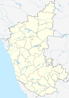
Kerur is a City in Bagalkot district in Karnataka, which located on NH 218. It has an average elevation of 617 meters (2024 feet). It's a birthplace of Jagadish Shettar, a former Chief Minister of Karnataka. Kerur is a Town Panchayat city in district of Bagalkot, Karnataka. The Kerur city is divided into 16 wards for which elections are held every five years. The Kerur Town Panchayat has population of 19,731 of which 9,929 are males while 9,802 are females as per report released by Census India 2011.


