Kalyani is a planned urban city in Nadia district in the Indian state of West Bengal. It is also a municipality and Community Development Block in Nadia. It is located around 50 kilometres from Kolkata — the capital of West Bengal. Kalyani is the administrative headquarters of Kalyani subdivision. It resides on the eastern banks of Hooghly River, and is part of the Kolkata Metropolitan Development Authority (KMDA).

Haringhata is a town and a municipality of the Nadia district in the Indian state of West Bengal.

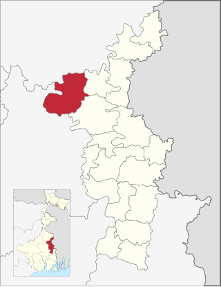
Hanskhali is a community development block that forms an administrative division in Ranaghat subdivision of Nadia district in the Indian state of West Bengal.

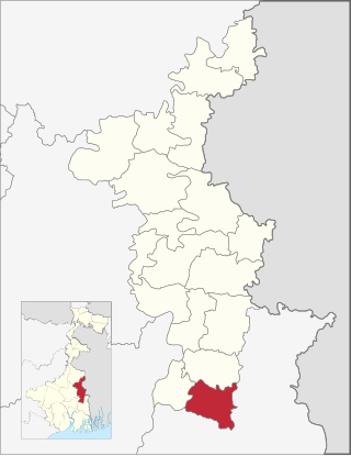
Chapra is a community development block that forms an administrative division in Krishnanagar Sadar subdivision of Nadia district in the Indian state of West Bengal.

Nakashipara is a community development block that forms an administrative division in Krishnanagar Sadar subdivision of Nadia district in the Indian state of West Bengal.
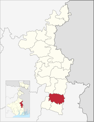
Kaliganj is a community development block that forms an administrative division in Krishnanagar Sadar subdivision of Nadia district in the Indian state of West Bengal.

Kalyani subdivision is an administrative subdivision of the Nadia district in the Indian state of West Bengal.

Ranaghat Subdivision is an administrative subdivision located at Nadia district, in the state of West Bengal, India The subdivision is administered by SDM/SDO(Ranaghat).

Dhubulia is a village in the Krishnanagar II CD block in the Krishnanagar Sadar subdivision of the Nadia district of West Bengal, India.

Krishnanagar I is a community development block that forms an administrative division in Krishnanagar Sadar subdivision of Nadia district in the Indian state of West Bengal.

Krishnanagar II is a community development block that forms an administrative division in Krishnanagar Sadar subdivision of Nadia district in the Indian state of West Bengal.

Nabadwip is a community development block that forms an administrative division in Krishnanagar Sadar subdivision of Nadia district in the Indian state of West Bengal.

Santipur is a community development block that forms an administrative division in Ranaghat subdivision of Nadia district in the Indian state of West Bengal.

Ranaghat I is a community development block that forms an administrative division in Ranaghat subdivision of Nadia district in the Indian state of West Bengal.

Karimpur II is a community development block that forms an administrative division in Tehatta subdivision of Nadia district in the Indian state of West Bengal.
Chakdaha is a community development block that forms an administrative division in Kalyani subdivision of Nadia district in the Indian state of West Bengal.
Haringhata is a community development block that forms an administrative division in Kalyani subdivision of Nadia district in the Indian state of West Bengal.

The Ranaghat–Krishnanagar City–Lalgola line is a 155 km (96 mi) long broad gauge railway line which connects Ranaghat Junction in the Nadia district with Lalgola in the Murshidabad district of the Indian state of West Bengal. The line runs up to the Bangladesh border near the Ganga river and is a part of the Sealdah railway division of the Eastern Railway zone.
Kamarhati is a village in Krishnanagar II CD Block in Krishnanagar Sadar subdivision of Nadia district of West Bengal, India beside Dhubulia. Most of the people in this village are Hindu in religion. There are three villages surrounded Kamarhati, named Muragachha, Banagram, Chupipota, Ghateswar, where Banagram is a small locality at the interface of Kamarhati and Ghateswar. Krishnanagar is the nearest town from Kamarhati.

Dhubulia railway station is a railway station under the Sealdah railway division of Eastern Railway system. It is situated in Dhubulia, on the Krishnanagar–Lalgola lines in Nadia district in the Indian state of West Bengal. Few EMU and Lalgola passenger trains pass through Dhubulia railway station.
