Dogwood, Indiana

Last updated

Dogwood, Indiana
Dogwood, Indiana.jpg
Old schoolhouse near Dogwood
Map of Indiana highlighting Harrison County.svg
Harrison County's location in Indiana
Locator map of Harrison County, Indiana.svg
Red pog.svg
Dogwood
Dogwood's location in Harrison County
Coordinates: 38°06′19″N86°05′04″W / 38.10528°N 86.08444°W / 38.10528; -86.08444
Country United States
State Indiana
County Harrison
Township Webster
Elevation
[1]
666 ft (203 m)
Time zone UTC-5 (EST)
  Summer (DST) UTC-4 (EDT)
ZIP code
47135
FIPS code 18-18316 [2]
GNIS feature ID433609 [1]

Dogwood is an unincorporated community in Webster Township, Harrison County, Indiana.

History

A post office was established at Dogwood in 1890, and remained in operation until it was discontinued in 1922. [3] The community was likely named after the dogwood tree. [4]

Related Research Articles

<span class="mw-page-title-main">Harrison County, Indiana</span> County in Indiana, United States

Harrison County is located in the far southern part of the U.S. state of Indiana along the Ohio River. The county was officially established in 1808. Its population was 39,654 as of the 2020 United States Census. Its county seat is Corydon, the former capital of Indiana.
<span class="mw-page-title-main">Floyd County, Indiana</span> County in Indiana, United States

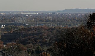
Floyd County is a county located in the U.S. state of Indiana. Its county seat is New Albany. The population of the county was 80,484 as of the 2020 United States Census. Floyd County has the second-smallest land area in the entire state. It was formed in the year 1819 from neighboring Clark and Harrison counties.
<span class="mw-page-title-main">Lucerne, Indiana</span> Unincorporated community and Census-designated place in Indiana, United States

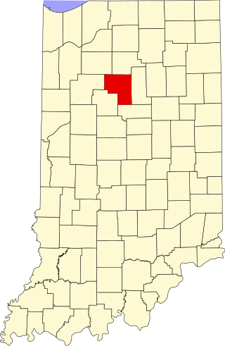
Lucerne is an unincorporated community in Harrison Township, Cass County, Indiana.

<span class="mw-page-title-main">Glendale, Daviess County, Indiana</span> Unincorporated community in Indiana, United States

Glendale is an unincorporated community in Harrison Township, Daviess County, Indiana.

Braysville is an unincorporated community in Harrison Township, Dearborn County, Indiana.

Cammack is an unincorporated community in Mount Pleasant Township, Delaware County, Indiana.

<span class="mw-page-title-main">Cross Roads, Delaware County, Indiana</span> Unincorporated community in Indiana, United States

Cross Roads is an unincorporated community in Salem Township, Delaware County, Indiana.

Stockport is an unincorporated community in Washington Township, Delaware County, Indiana.

West Muncie is an unincorporated community in Mount Pleasant Township, Delaware County, Indiana.

<span class="mw-page-title-main">Wheeling, Delaware County, Indiana</span> Unincorporated community in Indiana, United States

Wheeling is an unincorporated community in Washington Township, Delaware County, Indiana.

Harrisburg is an unincorporated community in Harrison Township, Fayette County, Indiana.

<span class="mw-page-title-main">New Trenton, Indiana</span> Census-designated place in Indiana, United States

New Trenton is an unincorporated community and census-designated place (CDP) in Whitewater Township, Franklin County, Indiana. As of the 2010 census it had a population of 252. It has a ZIP code 47035.

<span class="mw-page-title-main">Tulip, Indiana</span> Unincorporated community in Indiana, United States

Tulip is an unincorporated community in Highland Township, Greene County, Indiana, United States.
<span class="mw-page-title-main">Central Barren, Indiana</span> Unincorporated community in Indiana, United States

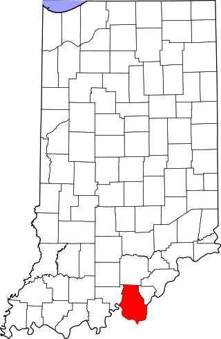
Central Barren is an unincorporated community in Morgan Township, Harrison County, Indiana.

<span class="mw-page-title-main">Fishtown, Indiana</span> Unincorporated community in Indiana, United States

Fishtown is an unincorporated community in Taylor Township, Harrison County, Indiana.

<span class="mw-page-title-main">Frenchtown, Indiana</span> Unincorporated community in Indiana, United States

Frenchtown is an unincorporated community in Spencer Township, Harrison County, Indiana.

<span class="mw-page-title-main">Mott Station, Indiana</span> Unincorporated community in Indiana, United States

Mott Station is an unincorporated community in Jackson Township, Harrison County, Indiana.
<span class="mw-page-title-main">Ramsey, Indiana</span> Unincorporated community in Indiana, United States

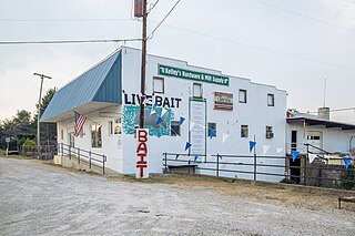
Ramsey is a Census-designated place in Jackson Township, Harrison County, in the U.S. state of Indiana.

<span class="mw-page-title-main">Valley City, Indiana</span> Unincorporated community in Indiana, United States

Valley City is an unincorporated community in Washington Township, Harrison County, Indiana.

<span class="mw-page-title-main">White Cloud, Indiana</span> Unincorporated community in Indiana, United States

White Cloud is an unincorporated community in Harrison Township, Harrison County, Indiana.

References

  1. 1 2 U.S. Geological Survey Geographic Names Information System: Dogwood, Indiana
  2. "U.S. Census website". United States Census Bureau . Retrieved January 31, 2008.
  3. "Harrison County". Jim Forte Postal History. Archived from the original on September 24, 2014. Retrieved September 17, 2014.
  4. Baker, Ronald L. (October 1995). From Needmore to Prosperity: Hoosier Place Names in Folklore and History . Indiana University Press. p.  115. ISBN   978-0-253-32866-3. Apparently the name is for the tree.