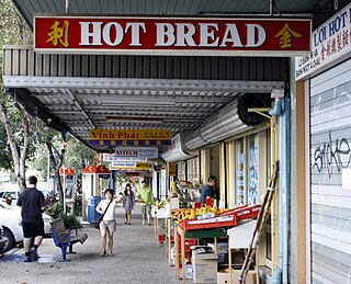
Kempsey is a town in the Mid North Coast region of New South Wales, Australia and is the council seat for Kempsey Shire. It is located roughly 16.5 kilometres inland from the coast of the Pacific Ocean, on the Macleay Valley Way near where the Pacific Highway and the North Coast railway line cross the Macleay River. It is roughly 430 kilometres north of Sydney. As of June 2018 Kempsey had a population of 15,309 (2018).

Nettlebed is a village and civil parish in Oxfordshire in the Chiltern Hills about 4+1⁄2 miles (7 km) northwest of Henley-on-Thames and 6 miles (10 km) southeast of Wallingford. The parish includes the hamlet of Crocker End, about 1⁄2 mile (800 m) east of the village. The 2011 Census recorded a parish population of 727.

Darra is a south-western suburb in the City of Brisbane, Queensland, Australia. In the 2016 census, Darra had a population of 4,343 people.

Peakhurst is a suburb in Southern Sydney, or the St George Area, in the state of New South Wales, Australia 21 kilometres south-west of the Sydney central business district. Peakhurst is in the local government area of the Georges River Council.

Walkerville Victoria, Australia, is a tiny village on Waratah Bay in southwest Gippsland, about 190 km southeast of Melbourne. The small town, originally known as Waratah, is separated into Walkerville North and Walkerville South. The Walkerville Promontory View Estate is situated inland 2.3 km north of Walkerville North. At the 2006 census, Walkerville had a population of 262.

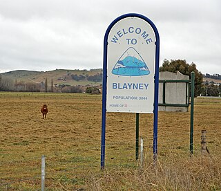
Blayney is a farming town and administrative centre with a population of 2,997 in 2021, in the Central West region of New South Wales, Australia. Situated on the Mid-Western Highway about 240 km (150 mi) west of Sydney, 35 km (22 mi) west of Bathurst and 863 m (944 yd) above sea-level, Blayney is the seat of Blayney Shire Council.

Wool Bay is a locality and a former government town in the Australian state of South Australia on the east coast of southern Yorke Peninsula. It is located between Stansbury and Coobowie on Yorke Peninsula, approximately 220 kilometres from Adelaide by road, but only just over 60 km due west across Gulf St Vincent.

Galong is a village in New South Wales, Australia, in Hilltops Council. It is a typical Australian village located one hour's drive from the Australian Capital Territory (ACT).

Kempsey Shire is a local government area in the Mid North Coast region of New South Wales, Australia.

Muttama is a rural community in the central east part of the Riverina. It is situated by road, about 24 kilometres south of Cootamundra and 17 kilometres north of Coolac.
Portland is a town in the Central Tablelands of New South Wales, Australia. At the 2016 census, Portland had a population of 2,424 people. The town was named after Australia's first cement works.

Lugarno is a suburb situated in the St George area of southern Sydney, in the state of New South Wales, Australia. It is located in the local government area of the Georges River Council, 23 kilometres south of the Sydney central business district.
Kempsey Airport is a small airport located in Aldavilla 4 nautical miles west of Kempsey, New South Wales, Australia. The airport is operated by Kempsey Shire Council and is mainly used for general aviation activities, including flight training, skydiving and emergency services uses. There are currently no scheduled passenger services to Kempsey.

Sherwood is an unincorporated community in Franklin County, Tennessee, United States. It is located along Tennessee State Route 56 13.1 miles (21.1 km) southeast of Winchester, and just north of the Alabama state line. Sherwood has a post office with ZIP code 37376.

Langshaw Marble Lime Works is a heritage-listed remains of a former lime kiln at 12 Julius Street, New Farm, City of Brisbane, Queensland, Australia. It was built from c. 1878 to c. 1881. It was added to the Queensland Heritage Register on 13 October 1997.

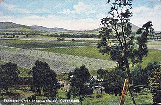
Freestone is a rural town and locality in the Southern Downs Region, Queensland, Australia. In the 2016 census, Freestone had a population of 217 people.

The bushfire season of the summer of 2017–18, was expected to have above normal bushfire risks with an elevated fire risk for the most of eastern and south Australian coastal areas. Australia had experienced its warmest winter on record and the ninth driest winter on record leaving dry fuel loads across much of southern Australia. Expected warmer weather over the summer period would also increase the risk. Bushfires were also expected to occur earlier, before the end of winter, as a result of the warm and dry winter. Both Queensland and north-eastern New South Wales experienced the wettest October since 1975 leading to a downgrade in bushfire risk.

Bellbrook is a locality in the Kempsey Shire of New South Wales, Australia along the Macleay River. The mountain village is classified by the National Trust as a heritage village and is part of the Macleay Valley Coast.

The Pipers Creek Lime Kilns are heritage-listed former lime kilns at Bonnie Corner Road, Dondingalong in the Kumbatine National Park, New South Wales, Australia. It was built from 1832 to 1840, probably by convicts. It is also known as Bonnie Corner Lime Kilns and Smith's Creek Lime Station. The property is owned by the New South Wales Office of Environment and Heritage. It was added to the New South Wales State Heritage Register on 22 March 2011.


