Namdapha National Park is a 1,985 km2 (766 sq mi) large protected area in Arunachal Pradesh of Northeast India. The park was established in 1983. With more than 1,000 floral and about 1,400 faunal species, it is a biodiversity hotspot in the Eastern Himalayas. The national park harbours the northernmost lowland evergreen rainforests in the world at 27°N latitude. It also harbours extensive dipterocarp forests, comprising the northwestern parts of the Mizoram-Manipur-Kachin rain forests ecoregion.

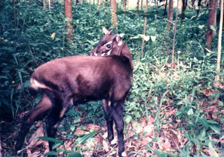
The wildlife of Vietnam is rich in flora and fauna as reflected by its unique biodiversity. Saola, rare and antelope-like animal categorized under the bovine subfamily, was found in 1992 in Vũ Quang National Park. In the 1990s, three other muntjac species, the deer-like Truong Son muntjac, giant muntjac and Pu Hoat muntjac, were also discovered. Conservation protection and scientific studies of the ecology of Vietnam, particularly in the protected forest areas, have been given priority attention by the Government of Vietnam. Laws were enacted to set up Xuân Thủy Wetland National Park, four UNESCO Biosphere Reserves, and Hạ Long Bay and Phong Nha-Kẻ Bàng National Parks; the last two are also designated as UNESCO World Heritage Sites.
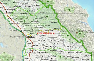
Hin Namno National Park is in Boualapha District, Khammouane Province, Laos. The park borders Phong Nha-Kẻ Bàng National Park of Vietnam to the east and Nakai-Nam Theun National Park of Laos to the north. Hin Namno National Park was created by prime ministerial decree in January 2020. It is managed by the Ministry of Agriculture and Forestry (MAF).
Nakai-Nam Theun National Park in Nakai District, Khammouane Province, Laos, is one of the last remaining wildernesses in Southeast Asia. Nakai-Nam Theun covers approximately 4,270 km2 of the Annamite Range and the adjacent Nakai Plateau in Khammouane and Bolikhamsai Provinces. It was designated a national park on 15 February 2019 by Prime Ministerial Decree No. 36, 15 February 2019. It is managed by the Ministry of Agriculture and Forestry (MAF). It is adjacent to the Vu Quang National Park of Vietnam.

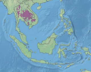
The Central Indochina dry forests are a large tropical and subtropical dry broadleaf forests ecoregion in Southeast Asia.
Nam Et-Phou Louey National Park is a protected area in northern Laos, covering 4,107.1 km2 (1,585.8 sq mi) in three provinces: Houaphan, Luang Prabang, and Xieng Khouang. It was designated a national park in 2019, and was previously designated a national protected area. The protected area included a 3,000 km2 (1,200 sq mi) core area where human access and wildlife harvest is prohibited and a 2,950 km2 buffer area where pre-existing villages are allocated land for subsistence living.
The Xe Kaman is a river in southeastern Laos. It flows through the Dong Ampham National Biodiversity Conservation Area of Attapeu Province. The river is known to have populations of dolphins. The area is being destroyed by a dam being built on the river. The village of Ban Hin Dam lies on the river and is where boat trips are launched.
Xe Xou River is a river in southeastern Laos. It flows through the Dong Ampham National Biodiversity Conservation Area of Attapeu Province. The village of Ban Keng Maw lies on the river and is where boat trips are launched.

Attapeu is a province of Laos in the southeast of the country. It has five districts: Samakkixay, Xaysetha, Sanamxay, Sanxay, and Phouvong, covering an area of 10,320 square kilometres (3,980 sq mi) with a population of 127,285. Its capital city lies at Attapeu.

Bolikhamsai is a province of Laos. Pakxan, Thaphabat, Pakkading, Borikhane, Viengthong, and Khamkeut are its districts and Pakxan is its capital city. The province is the site of the Nam Theun 2 Dam, the country's largest hydroelectric project.

Sekong is a province of Laos in the southeast of the country.

Khammouane province (Khammouan) is a province in the center of Laos. Its capital lies at Thakhek.

Salavan is a province of Laos, located in the south of the country. Its earlier name was Saravan which was changed by the Thais to Salavan in 1828. It was part of the Champasak Kingdom in an area known as Muang Mang inhabited by minorities of Mon-Khmer groups.

Luang Prabang is a province in northern Laos. Its capital of the same name, Luang Prabang, was the capital of the Lan Xang Kingdom during the 13th to 16th centuries. It is listed since 1995 by UNESCO as a World Heritage Site for unique architectural, religious and cultural heritage, a blend of the rural and urban developments over several centuries, including the French colonial influences during the 19th and 20th centuries. The province has 12 districts. The Royal Palace, the national museum in the capital city, and the Phou Loei Protected Reserve are important sites. Notable temples in the province are the Wat Xieng Thong, Wat Wisunarat, Wat Sen, Wat Xieng Muan, and Wat Manorom. The Lao New Year is celebrated in April as The Bun Pi Mai.

Champasak is a province in southwestern Laos, near the borders with Thailand and Cambodia. It is one of the three principalities that succeeded the Lao kingdom of Lan Xang. As of the 2015 census, it had a population of 694,023. The capital is Pakse, but the province takes its name from Champasak, the former capital of the Kingdom of Champasak.

Many areas of Vietnam are under protection. While the national reserves cover small areas of scientific significance with restricted access, the national parks also cover wetlands of Ramsar designated areas and BirdLife International inscribed bird areas. The largest of the national parks initially covered were the Cúc Phương National Park, the Cát Tiên National Park, and the Côn Đảo National Park which to start with were forest areas cum reserves or prohibited areas. The objective for creating national parks was to allow access to the reserved areas as a part of ecotourism and cultural needs with full attention to the basic approach of conservation of natural environmental resources.
Xe Pian National Park is a national park in Champasak and Attapeu provinces in southern Laos. This forested, hilly park is home to significant wetlands and a great diversity of animal, bird and fish species. It is an ecotourism destination.
Dong Hua Sao National Protected Area is a national park in Champasak Province in southern Laos. This forested park rises from the Mekong river lowlands eastwards into the Bolaven Plateau. It is an ecotourism destination.

Protected areas in Laos include:

Raimona National Park is located in extreme western part of Assam, India. It is spread across Gossaigaon and Kokrajhar subdivisions of Kokrajhar district of Bodoland Territorial Region.


