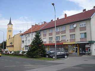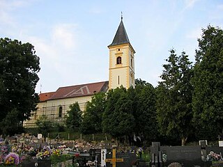
Novi Marof is a town in north-western Croatia, located south of Varaždin and east of Ivanec, in the Varaždin County. It lies on intersection of state roads D3 and D24 and is also connected with highway A4, state road D22 and R201 railway.

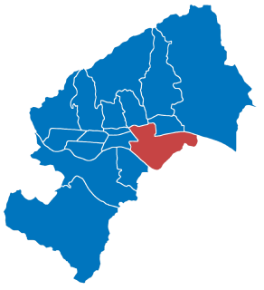
Peščenica – Žitnjak is a city district in the southeastern part of Zagreb, Croatia. It consists of two parts: Peščenica, a set of neighborhoods; and Žitnjak, a large industrial zone on the city outskirts, and has a total population of 56,487.

Donja Dubrava is one of the districts of Zagreb, Croatia. It is located in the northeastern part of the city and in 2011 had 36,363 inhabitants.

Sesvete is the easternmost city district of Zagreb, Croatia. With a population of 70,009 it is the most populated district as well as the second largest by area (165.255 km2).

Štefanje is a municipality in Bjelovar-Bilogora County, Croatia. There are 2,030 inhabitants. In the 2011 census, 92% of the population were Croats.

Barilović is a village and a municipality in central Croatia, in the Karlovac County.

Budinščina is a village and municipality in the Krapina-Zagorje County in Croatia connected by the state road D24 and R201 railway. According to the 2001 census, there are 2,503 inhabitants in the area, absolute majority of which are Croats.

Donja Dubrava is a village and municipality in Međimurje County, Croatia. Donja Dubrava is the only village within the municipality. According to the 2011 census, the village had 1,920 inhabitants, mostly Croats.

Donji Vidovec is a municipality in Međimurje County, Croatia.

Donja Čemernica is a village in central Croatia, in the municipality of Topusko, Sisak-Moslavina County. It is connected by the D6 highway.
Donja Brckovčina is a village in Croatia. It is connected by the D41 highway.

Dubranec is a village in Croatia.

Slivnica is a small village in Zadar County, Croatia. It is divided in two parts: Upper and Lower Slivnica. Population is 834 (2011). Slivnica is one of the biggest villages in Zadar County. The main road towards the island of Pag goes through Slivnica. Slivnica has a few stores, a beautiful small beach, a church and a pizza place.
Puhovo, Croatia is a settlement in the Dugo Selo town of Zagreb County, Croatia. As of 2011 it had a population of 710 people.
Donja Drenova is a settlement (naselje) in the Sveti Ivan Zelina administrative territory of Zagreb County, Croatia. As of the 2011 census, it had a population of 308 people.
Gornja Topličica is a settlement (naselje) in the Sveti Ivan Zelina administrative territory of Zagreb County, Croatia. As of 2011 it had a population of 157 people.
Križevčec is a settlement (naselje) in the Sveti Ivan Zelina administrative territory of Zagreb County, Croatia. As of 2011 it had a population of 102 people.
Polonje Tomaševečko is a settlement (naselje) in the Sveti Ivan Zelina administrative territory of Zagreb County, Croatia. As of 2011 it had a population of 42 people.
Šulinec is a settlement (naselje) in the Sveti Ivan Zelina administrative territory of Zagreb County, Croatia. As of 2011 it had a population of 214 people.


