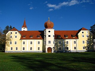
The settlements included in the administrative area of Kutjevo include:

Ružić is a village and a municipality in Šibenik-Knin County, Croatia. In the 2011 census, it had a total of 1,591 inhabitants. In the 2011 census, 98.99% of the population were Croats.

Rakovec is a village and a municipality in Croatia in the Zagreb County. According to the 2011 census, there are 1,252 inhabitants in the municipality, 98% of which are Croats.
Žumberak is a village and a municipality in Croatia in the Zagreb County. According to the 2011 census, there are 883 inhabitants, 98% of which are Croats. Žumberak municipality covers an area of 110 km2 (42 sq mi).

Peteranec is a municipality in the Koprivnica-Križevci County in Croatia, population 2704.
Duboševica is a settlement in the region of Baranja, Croatia. Administratively, it is located in the Draž municipality within the Osijek-Baranja County. Population is 690 people.
Belovar is a settlement (naselje) located within the Sesvete city district of Zagreb, the capital of Croatia. According to the 2011 census, the settlement has 378 inhabitants.
Sibinj Krmpotski is a village in Croatia. It is connected by the D8 highway. It is part of the group of villages called Krmpote.
Siverić is a village in Croatia.
Đurđekovec is a settlement in the City of Zagreb, Croatia, population 778 (2011). It is located around 9 km north-east of the city centre of Zagreb and adjacent to the Medvednica mountain.
Gornja Lomnica is a settlement of Velika Gorica, which is part of the Zagreb metropolitan area, Croatia. The population is 580.
Kozinščak is a settlement in the Dugo Selo town of Zagreb County, Croatia. As of 2011 it had a population of 1,345 people.
Puhovo, Croatia is a settlement in the Dugo Selo town of Zagreb County, Croatia. As of 2011 it had a population of 710 people.
Donja Topličica is a settlement (naselje) in the Sveti Ivan Zelina administrative territory of Zagreb County, Croatia. As of 2011 it had a population of 68 people.
Majkovec is a settlement (naselje) in the Sveti Ivan Zelina administrative territory of Zagreb County, Croatia. As of 2011 it had a population of 194 people.
Šulinec is a settlement (naselje) in the Sveti Ivan Zelina administrative territory of Zagreb County, Croatia. As of 2011 it had a population of 214 people.
Zadrkovec is a settlement (naselje) in the Sveti Ivan Zelina administrative territory of Zagreb County, Croatia. As of 2011 it had a population of 214 people.
Negovec is a settlement (naselje) in the Vrbovec administrative territory of Zagreb County, Croatia. As of 2011 it had a population of 176 people.
Pirakovec is a settlement (naselje) in the Vrbovec administrative territory of Zagreb County, Croatia. As of 2011 it had a population of 170 people.


