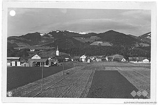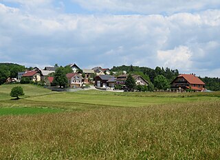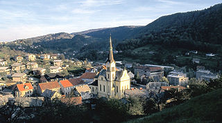
Bistrica ob Sotli is a settlement in eastern Slovenia. It is the seat of the Municipality of Bistrica ob Sotli. The settlement lies on a river terrace above the right bank of the Sotla River. The area traditionally belonged to the region of Styria. It is now included in the Lower Sava Statistical Region; until January 2014 it was part of the Savinja Statistical Region. The settlement includes the hamlets of Čehovec, Koče, and Marof.

Mislinja is a settlement in northern Slovenia. It is the seat of the Municipality of Mislinja. It lies in the valley of the Mislinja River. The area traditionally belonged to Styria. In 1995 it became part of the newly formed Carinthia Statistical Region.

Rogatec is a small town in eastern Slovenia, on the border with Croatia. It is the seat of the Municipality of Rogatec. The area traditionally belonged to the region of Styria. It is now included in the Savinja Statistical Region.
Teharje is a settlement in the City Municipality of Celje in eastern Slovenia. It lies on the right bank of the Voglajna River on the eastern outskirts of Celje. The area is part of the traditional region of Styria. It is now included with the rest of the municipality in the Savinja Statistical Region.

Bukovžlak is a settlement in the City Municipality of Celje in eastern Slovenia. It lies on the eastern outskirts of Celje, just north of Teharje. The area is part of the traditional region of Styria. It is now included with the rest of the municipality in the Savinja Statistical Region.
Košnica pri Celju is a settlement in the City Municipality of Celje in eastern Slovenia. The area is part of the traditional region of Styria. It is now included with the rest of the municipality in the Savinja Statistical Region.
Gradišče is a settlement in the City Municipality of Slovenj Gradec in northern Slovenia. The area is part of the traditional region of Styria. The entire municipality is now included in the Carinthia Statistical Region.

Šmartno pri Slovenj Gradcu is a settlement in the City Municipality of Slovenj Gradec in northern Slovenia. The area is part of the traditional region of Styria. The entire municipality is now included in the Carinthia Statistical Region.

Podgorje is a settlement that is a now a suburb of the town of Kamnik in the Upper Carniola region of Slovenia.

Dolenje pri Jelšanah is a village north of Jelšane in the Municipality of Ilirska Bistrica in the Inner Carniola region of Slovenia, next to the border with Croatia. The settlement includes the hamlets of Dolnji Kraj, Gornji Kraj, and Vrh Žloštajna.
Spodnja Kapla is a dispersed settlement in the hills north of the Drava River in the Municipality of Podvelka in Slovenia, close to the border with Austria.
Bukovska Vas is a settlement on the left bank of the Mislinja River in the Municipality of Dravograd in the Carinthia region in northern Slovenia. It includes the hamlet of Sveta Jedrt.

Bukovec is a small remote settlement in the hills on the edge of the Municipality of Velike Lašče in Slovenia. Traditionally the area is part of the Lower Carniola region. It is now included in the Central Slovenia Statistical Region.

Pance is a settlement in the hills north of Grosuplje in central Slovenia. It belongs to the City Municipality of Ljubljana. The area is part of the traditional region of Lower Carniola. It is now included with the rest of the municipality in the Central Slovenia Statistical Region.

Dol pri Hrastniku is a settlement in the Municipality of Hrastnik in central Slovenia. The area is part of the traditional region of Styria. It is now included with the rest of the municipality in the Central Sava Statistical Region. In addition to the main settlement, it includes the hamlets of Črdenc, Grča, Javorje, Novi Dol, Pod Bregom, Rakovec, and Slatno.
Lahomno is a settlement in the Municipality of Laško in eastern Slovenia. It lies in the valley of Lahomnica Creek, a minor left tributary of the Savinja River east of Laško. The area is part of the traditional region of Styria. It is now included with the rest of the municipality in the Savinja Statistical Region.
Lobnica is a settlement in the Municipality of Ruše in northeastern Slovenia. It lies in the Pohorje Hills south of Ruše. The area is part of the traditional region of Styria. The municipality is now included in the Drava Statistical Region.

Gornji Dolič is a village in the Municipality of Mislinja in northern Slovenia. The area is part of the traditional region of Carinthia and is now included in the Carinthia Statistical Region.
Završe is a dispersed settlement in the Municipality of Mislinja in northern Slovenia. The area is part of the traditional region of Carinthia. It is now included in the Carinthia Statistical Region.
Mass graves in Celje were created in Celje, Slovenia, after the Second World War, from 1945 to 1956. The 11 known mass graves in Celje itself and 14 in the immediate vicinity include some of the largest mass graves in Slovenia.


