| Dryden Brook | |
|---|---|
 Dryden Brook's original alignment under the Cannonsville Reservoir in October 2025, during a drought | |
| Location | |
| Country | United States |
| State | New York |
| County | Delaware |
| Physical characteristics | |
| Source | |
| • coordinates | 42°10′51″N75°12′25″W / 42.1809179°N 75.2068379°W |
| Mouth | Cannonsville Reservoir |
• coordinates | 42°06′36″N75°15′42″W / 42.1100851°N 75.2615612°W [1] |
• elevation | 1,148 ft (350 m) |
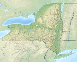
Dryden Brook is a river in Delaware County, New York. It flows into Cannonsville Reservoir west-northwest of Rock Rift. [1]
