 Dun Dornaigil | |
 Dun Dornaigil Shown within Highland | |
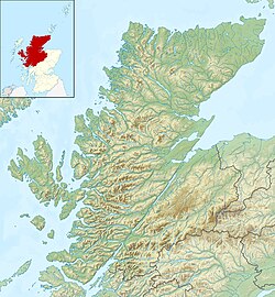
| Location | Scottish Highlands |
|---|---|
| Coordinates | 58°21′59″N4°38′21″W / 58.366338°N 4.639198°W |
| Type | Broch |
| History | |
| Periods | Iron Age |
| Site notes | |
| Ownership | Historic Scotland |
Dun Dornaigil is an Iron Age broch in Sutherland in the Scottish Highlands (grid reference NC45714501 ). It is in Strathmore on the eastern bank of the Strathmore River. It is under the care of Historic Environment Scotland. The interior has been filled and is now inaccessible.
