Basler Straße is an U-Bahn station in Munich on the U3. It was opened on 1 June 1991.

Madur, in Antiquity known as Theches, is a mountain in Sürmene, Turkey.
The Hodosan Ropeway is Japanese aerial lift line in Nagatoro, Saitama. This is the only line Hodo Kōgyō (宝登興業) operates. The company is a subsidiary of Chichibu Railway. Opened in 1961, the line climbs Mount Hodo (宝登山) of Chichibu Mountains. Cabins used for the line have not refurbished since its opening. Consequently, they are the oldest aerial lift cabins still used in Kantō region. At the summit, the company also operates a small zoo, a plum garden, and a wintersweet garden.

Oued Koriche is a suburb of the city of Algiers in northern Algeria.
The canton of Forcalquier is an administrative division in southeastern France. At the French canton reorganisation which came into effect in March 2015, the canton was expanded from 10 to 15 communes:
Szkocja is a village in the administrative district of Gmina Szubin, within Nakło County, Kuyavian-Pomeranian Voivodeship, in north-central Poland. Its name is also the Polish word for "Scotland".

Hacallı is a village in the Barda Rayon of Azerbaijan.
Żarnowo is a village in the administrative district of Gmina Grudusk, within Ciechanów County, Masovian Voivodeship, in east-central Poland.

Kokorzyn is a village in the administrative district of Gmina Kościan, within Kościan County, Greater Poland Voivodeship, in west-central Poland. It lies approximately 5 kilometres (3 mi) west of Kościan and 42 km (26 mi) south-west of the regional capital Poznań.
Biała is a village in Gmina Miastko, Bytów County, Pomeranian Voivodeship, in northern Poland, on the border with West Pomeranian Voivodeship. It lies approximately 43 kilometres (27 mi) west of Bytów and 121 km (75 mi) west of Gdańsk.

Krokowa is a village in Puck County, Pomeranian Voivodeship, in northern Poland. It is the seat of the gmina called Gmina Krokowa. It lies approximately 18 kilometres (11 mi) north-west of Puck and 56 km (35 mi) north-west of the regional capital Gdańsk.
Jeżewo is a settlement in the administrative district of Gmina Polanów, within Koszalin County, West Pomeranian Voivodeship, in north-western Poland.
Bedlno is a settlement in the administrative district of Gmina Świdwin, within Świdwin County, West Pomeranian Voivodeship, in north-western Poland. It lies approximately 11 kilometres (7 mi) west of Świdwin and 80 km (50 mi) north-east of the regional capital Szczecin.

Eddyville is a former settlement in Humboldt County, California. It was located 6.5 miles (10 km) south of Arcata, at an elevation of 36 feet. It still appeared on maps as of 1942.

Chengzhong is a district of Xining, the capital of Qinghai province, China. It has an area of 10.5 km2 (4.1 sq mi) and has 150,000 inhabitants (2004).
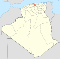
Talassa is a town and commune in Chlef Province, Algeria.
Teskánd is a village in Zala County, Hungary.

Bijela is a village in the municipality of Višegrad, Bosnia and Herzegovina.
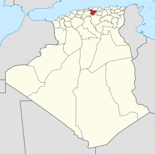
Djendel Saadi Mohamed is a town and commune in Skikda Province in north-eastern Algeria.
Cotton Plant is an unincorporated community in Dunklin County, in the U.S. state of Missouri.