
Cúcuta, officially San José de Cúcuta, is a Colombian municipality, capital of the department of Norte de Santander and nucleus of the Metropolitan Area of Cúcuta. The city is located in the homonymous valley, at the foot of the Eastern Ranges of the Colombian Andes, on the border with Venezuela. It comprises an area of approximately 1119 km2, with an urban area of 64 km2 and a rural area of 1055 km2. The city has a population of 777,106 inhabitants, which makes it the most populous municipality in the department and the sixth most populous municipality in the country. Similarly, its metropolitan area has an approximate population of 1,046,347.
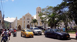
Ocaña is a city and municipality in the Colombian Department of Norte de Santander. Ocaña is the second largest populated center of this department. It played an important role during the Independence of Colombia from the Spanish monarchy.
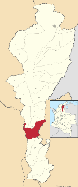
La Gloria is a municipality and town in the Department of Cesar, northern Colombia by the Magdalena River.
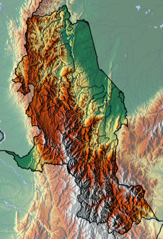
The department of Norte de Santander in northwestern Colombia, and its capital, Cúcuta, contains several rivers. The rivers are mostly part of the Maracaibo Lake basin, with the southeastern section located in the Magdalena River basin. Important fluvial elements are the Zulia, Catatumbo and Pamplonita Rivers. The entity in charge of taking care of these hydrology of Norte de Santander is Corponor.

Pamplona is a municipality and city in Norte de Santander, Colombia. It is the fifth most populated city and the sixth most populated municipality in the department.

Puerto Santander is a town and smallest municipality in the Norte de Santander Department in northeastern Colombia. It is part of the rural zone of Metropolitan Area of Cúcuta and is located north of Cúcuta, surrounded by the municipality of Cúcuta and the border with Venezuela.
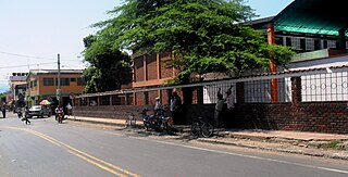
El Zulia is a municipality of the Norte de Santander Department in Colombia. A portion of this municipality is part of the Metropolitan Area of Cúcuta.

Tibú is a municipality and town of Colombia located in the department of Norte de Santander, in the northeast of the country, on the border with Venezuela and on the banks of the Tibú River. It is the 160th most populated town of Colombia, and the 6th in the department after Cúcuta, Ocaña, Villa del Rosario, Los Patios and Pamplona. It has an airport, and is connected by national road with Cúcuta, Ocaña and El Tarra.
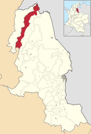
Convención is a Colombian municipality located in the department of North Santander.It is considered as the largest producer of panela in the department. Account, according to figures estimated by the DANE, with a population of 16,605 inhabitants. It is located at 1,076 meters above sea level and its climate is temperate.

El Carmen is a Colombian municipality located in the department of North Santander.
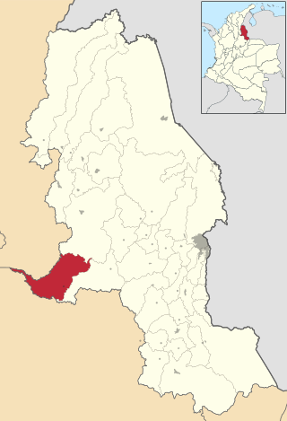
La Esperanza is a Colombian municipality and town located in the department of North Santander.

Hacarí is a Colombian municipality located in the department of North Santander.

La Playa or La Playa de Belén is a Colombian municipality in the department of North Santander.
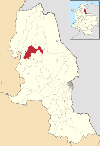
San Calixto is a Colombian municipality located in the department of Norte de Santander.

Teorama is a Colombian municipality located in the department of North Santander.
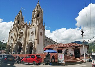
Salazar de las Palmas is a Colombian municipality and town located in the department of North of Santander.
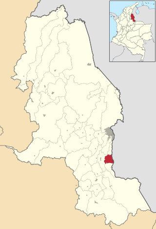
Ragonvalia is a Colombian municipality and town located in the department of North Santander.
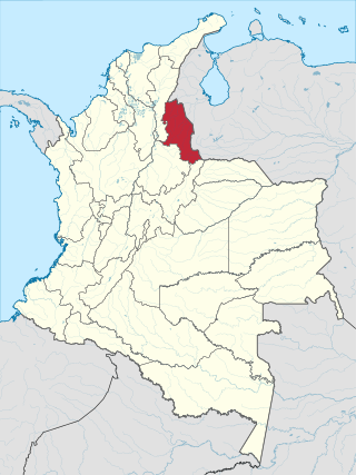
North Santander is a department of Northeastern Colombia. It is in the north of the country, bordering Venezuela. Its capital is Cúcuta, one of the country's major cities.
The Tarra Fault is a thrust fault in the department of Norte de Santander in Colombia. The fault has a total length of 26.8 kilometres (16.7 mi) and runs along an average north-northeast to south-southwest strike of 007.6 ± 8 in the Eastern Ranges of the Colombian Andes.

The Historical Complex of the Great Convention is a colonial construction located in Ocaña, Colombia. It consists of the temple of San Francisco, the adjacent convent and the square of the Gran Convención. Its construction began in 1584 by the Franciscan religious order. The complex has a museum with historical artifacts. The Historical Complex is a property of cultural interest of national character.


