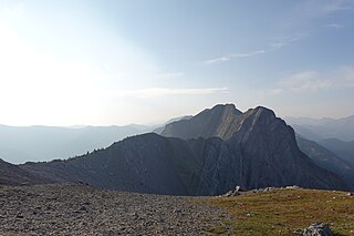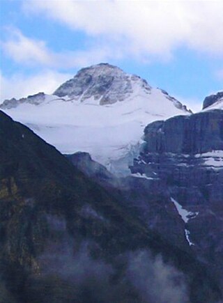
Mount Brazeau is a mountain in Alberta, Canada.

The Blue Range is a mountain range of the Canadian Rockies, located on the Continental Divide in Banff National Park, Canada. The range was so named on account of its blueish colour when viewed from afar. Mount Alcantara is the highest point in the range.

The Fiddle Range is a mountain range of the Canadian Rockies located south of Highway 16 on the east border of Jasper National Park, Canada.

Leavitt Peak is located in the Emigrant Wilderness near Sonora Pass in the eastern Sierra Nevada range of California. Leavitt Peak is located on the Tuolumne County - Mono County line. The Pacific Crest Trail runs close to the east of Leavitt Peak, at an elevation of about 10,800 feet (3,290 m) elevation. The peak offers views south to Yosemite National Park and north towards South Lake Tahoe.

Signal Mountain was named in 1916 by Morrison P. Bridgland. It is located in the Maligne Range in Alberta.

Highwood Pass is a mountain pass in Kananaskis Country, Alberta, Canada. It lies west of Mount Rae and Mount Arethusa of the Misty Range, south of Elbow Pass. It lies within the Peter Lougheed Provincial Park on Alberta Highway 40. The Highwood River originates in the pass.
Mount Farnham is British Columbia's 17th highest peak, and 21st most prominent. It was named after Paulding Farnham from New York. It is the highest peak in the Purcells.
Mount Talbot is located on the northern side of Shale Pass on the Alberta-British Columbia border. It was officially named on 4 November 1925 after Senator Peter Talbot (1854-1919), an early pioneer of the Lacombe region of central Alberta. A teacher and farmer, he turned to politics and became an elected representative of the Northwest Territories and later the province of Alberta. In 1906, Sir Wilfrid Laurier appointed him to the Senate of Canada.
Treadmill Ridge is a mountain ridge located at the northern end of Mount Robson Provincial Park, on the Alberta/British Columbia border. It is Alberta's 98th most prominent mountain. It was named in 1923 by Arthur O. Wheele who believed that the mountain resembled a treadmill.
Upright Mountain is located east of the head of the Moose River at the NE side of Mount Robson Provincial Park on the Continental Divide marking the Alberta-British Columbia border. Arthur O. Wheeler named the mountain in 1911 as the strata of the mountain have been upheaved to an almost vertical position.
Salient Mountain is located just north of Miette Pass, at the NE end of Mount Robson Provincial Park on the Continental Divide marking the Alberta-British Columbia border. It is Alberta's 80th most prominent mountain. It was named in 1922 by Arthur O. Wheeler. It was noted to be the "sharpest" peak in the area.
Whitecrow Mountain is located at the head of the Fraser River in Mount Robson Provincial Park on the Continental Divide marking the Alberta-British Columbia border. It was named in 1922 by Arthur O. Wheeler for the number of white crows that were seen on the peak.
Mount Bulyea is located in Banff National Park on the border of Alberta and British Columbia. It was named in 1920 after Hon. George H. V. Bulyea, a Canadian Pacific Railway employee and first Lieutenant Governor of Alberta.
Mount Barnard is located on the border of Alberta and British Columbia, NW of the head of Waitabit Creek and North of Golden. It is the 30th highest peak in Alberta and the 42nd highest peak in British Columbia. It was named in 1917 by boundary surveyors after Sir Francis Stillman Barnard, a Lieutenant Governor of BC during the 1910s. It should not be confused with the higher Californian peak of the same name.
Mount Barlow is located on the Continental Divide along the border of Alberta and British Columbia at the southern edge of the Freshfield Icefield in Banff National Park. It was named in 1916 by D.B. Dowling after Dr. Alfred Ernest Barlow, a cartographer with the Geological Survey of Canada who died in the 1914 Empress of Ireland disaster.

Mount Little is situated at the northern end of Kootenay National Park, and straddles the Continental Divide marking the Alberta-British Columbia border. It was named in 1916 after George F. Little, a member of the first ascent party.

Wenkchemna Peak is located on the SE ridge coming off of Mount Hungabee on the border of Alberta and British Columbia. It was named in 1894 by Samuel E. S. Allen for the Stoney Indian word for ten.
Scarpe Mountain is located at the head of Commerce Creek and straddles the Continental Divide marking the Alberta-British Columbia border. It was named after the Scarpe River in France.

Mount De Veber is a mountain in Willmore Wilderness Park in Alberta, Canada. It is named for former Canadian Senator Leverett George DeVeber.

Chevron Mountain is a summit in Alberta, Canada.


