
The Strathfield Council is a local government area located west of Sydney, in the state of New South Wales, Australia.

Turramurra is a suburb on the Upper North Shore of Sydney, in the state of New South Wales, Australia. It is located 17 kilometres (11 mi) north-west of the Sydney central business district, in the local government area of Ku-ring-gai Council. It shares the postcode of 2074 with the adjacent suburbs of North Turramurra, South Turramurra and Warrawee.

Lewisham is a suburb in the Inner West of Sydney, in the state of New South Wales, Australia. Lewisham is located 7 kilometres south-west of the Sydney central business district, in the local government area of Inner West Council. The postcode is 2049. Lewisham is surrounded by the suburbs of Petersham, Dulwich Hill, Summer Hill, Haberfield and Leichhardt.

Burwood is a suburb in the Inner West of Sydney, in the state of New South Wales, Australia. It is 10 kilometres west of the Sydney central business district and is the administrative centre for the local government area of Burwood Council.

The Division of Lowe was an Australian Electoral Division in the state of New South Wales. It was located in the inner western suburbs of Sydney, on the south shore of the Parramatta River. It included the suburbs of Drummoyne, Five Dock, Croydon, Croydon Park, Burwood, Enfield, Homebush, Strathfield, Concord, Rhodes, Canada Bay, Cabarita, Abbotsford and Mortlake.

The Division of Watson is an Australian electoral division in the state of New South Wales.
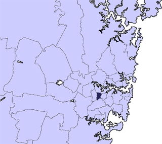
The Municipality of Burwood is a local government area in the inner-west of Sydney, in the state of New South Wales, Australia.

Concord is a suburb in the inner West of Sydney, in the state of New South Wales, Australia. It is 10 kilometres (6.2 mi) west of the Sydney central business district, in the local government area of the City of Canada Bay.
Burwood Heights is a suburb in the Inner West of Sydney, in the state of New South Wales, Australia. It is located 10 kilometres west of the Sydney central business district and is situated within the local government area of Burwood Council.

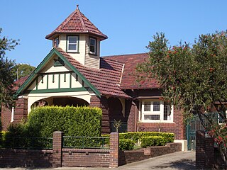
The Burwood railway station is a heritage-listed railway station located on the Main Suburban line in the Sydney suburb of Burwood in the Municipality of Burwood local government area of New South Wales, Australia. The station is served by Sydney Trains T1 North Shore, Northern & Western line and T2 Inner West & Leppington line services. The station is also known as the Burwood Railway Station group. The property is owned by RailCorp, an agency of the Government of New South Wales. It was added to the New South Wales State Heritage Register on 2 April 1999.

Box Head is a not a suburb but a coastal locality of the Central Coast region of New South Wales, Australia in the Central Coast Council local government area.

Mooney Mooney Creek is a suburb of the Central Coast region of New South Wales, Australia, located 60 kilometres (37 mi) north of Sydney along both sides of the river after which it is named. It is part of the Central Coast Council local government area.
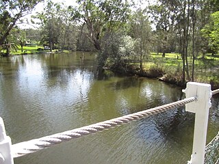
Dora River is a watercourse that is located in the Upper Central Coast/Lower Hunter regions of New South Wales, Australia.

Concord Parish is one of the 57 parishes of Cumberland County, New South Wales, a cadastral unit for use on land titles. It is located to the south of the Parramatta River between Homebush Bay and Iron Cove; and to the north of Cooks River. It includes the suburbs of Burwood, Croydon, Concord, Canada Bay and Abbotsford.
Morning Bay is a suburb and adjoining bay in northern Sydney, in the state of New South Wales, Australia. Morning Bay is located 40 kilometres north of the Sydney central business district, in the local government area of Northern Beaches Council.

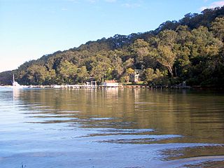
Lovett Bay is a suburb and adjacent bay in northern Sydney, in the state of New South Wales, Australia. It is 36 kilometres north of the Sydney central business district, in the local government area of Northern Beaches Council.
Kingfisher Shores is a suburb of the Central Coast region of New South Wales, Australia. It is part of the Central Coast Council local government area.

Cup and Saucer Creek, an urban watercourse of the Cooks River catchment, is located in the Canterbury-Bankstown region of Sydney, in New South Wales, Australia.

Bardwell Creek, an urban watercourse of the Cooks River catchment, is located in the southern suburbs of Sydney, in New South Wales, Australia.


