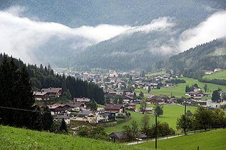
Engelhartstetten | |
|---|---|
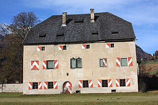
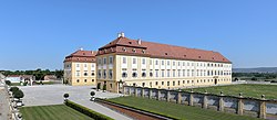 Castle Schlosshof | |
 Coat of arms | |
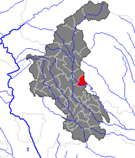
 Engelhartstetten Location within Austria | |
| Coordinates: 48°11′N16°53′E / 48.183°N 16.883°E Coordinates: 48°11′N16°53′E / 48.183°N 16.883°E | |
| Country | Austria |
| State | Lower Austria |
| District | Gänserndorf |
| Government | |
| • Mayor | Josef Reiter (ÖVP) |
| Area | |
| • Total | 65.66 km2 (25.35 sq mi) |
| Elevation | 143 m (469 ft) |
| Population (2018-01-01) [2] | |
| • Total | 2,055 |
| • Density | 31/km2 (81/sq mi) |
| Time zone | UTC+1 (CET) |
| • Summer (DST) | UTC+2 (CEST) |
| Postal code | A-2292 |
| Area code | +43 2214 |
| Vehicle registration | GF |
| Website | www.engelhartstetten.at |
Engelhartstetten is a town in the district of Gänserndorf in the Austrian state of Lower Austria.

Austria, officially the Republic of Austria, is a country in Central Europe comprising 9 federated states. Its capital, largest city and one of nine states is Vienna. Austria has an area of 83,879 km2 (32,386 sq mi), a population of nearly 9 million people and a nominal GDP of $477 billion. It is bordered by the Czech Republic and Germany to the north, Hungary and Slovakia to the east, Slovenia and Italy to the south, and Switzerland and Liechtenstein to the west. The terrain is highly mountainous, lying within the Alps; only 32% of the country is below 500 m (1,640 ft), and its highest point is 3,798 m (12,461 ft). The majority of the population speaks local Bavarian dialects as their native language, and German in its standard form is the country's official language. Other regional languages are Hungarian, Burgenland Croatian, and Slovene.

Lower Austria is the northeasternmost of the nine states of Austria. Since 1986, the capital of Lower Austria has been St. Polten, the most recently designated capital in Austria. Previously, Lower Austria's capital was Vienna, even though Vienna has not officially been part of Lower Austria since 1921. With a land area of 19,186 km2 (7,408 sq mi) and a population of 1.612 million people, Lower Austria is the country's largest state; it is the second most populous after the federal state of Vienna. Other main cities are Amstetten, Krems an der Donau and Wiener Neustadt.