Ertl, Lower Austria

Last updated

Ertl
Ertl 0001.JPG
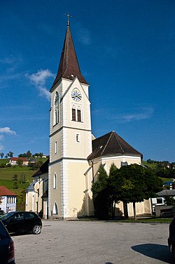
Catholic church in Ertl
AUT Ertl COA.jpg
Austria adm location map.svg
Red pog.svg
Ertl
Location within Austria
Coordinates: 47°59′N14°38′E / 47.983°N 14.633°E / 47.983; 14.633
Country Austria
State Lower Austria
District Amstetten
Government
   Mayor Alois Panstingl-Panstingl
Area
[1]
  Total
21.13 km2 (8.16 sq mi)
Elevation
440 m (1,440 ft)
Population
 (2018-01-01) [2]
  Total
1,252
  Density59/km2 (150/sq mi)
Time zone UTC+1 (CET)
  Summer (DST) UTC+2 (CEST)
Postal code
3355
Area code 07477
Website www.ertl.gv.at

Ertl is a town in the district of Amstetten in Lower Austria.

History

In ancient times, the area that is now Ertl was part of the province of Noricum.

The territory was inhabited in the Middle Neolithic period (c. 2500 BC), as evidenced by the discovery of some stone axes, tools, and other artifacts of the period. [3]

The present town was formed in 1922, from portions of the parishes of St. Peter, and Waidhofen. Ertl became an independent parish in 1930. [4]

References

  1. "Dauersiedlungsraum der Gemeinden Politischen Bezirke und Bundesländer - Gebietsstand 1.1.2018". Statistics Austria. Retrieved 10 March 2019.
  2. Population at the beginning of the year for municipalities since 2002 (in German), Statistics Austria, January 2023, Wikidata   Q27838750
  3. "Ertl municipal website". Archived from the original on 15 December 2012. Retrieved 18 June 2012.
  4. "Ertl municipal website". Archived from the original on 22 July 2012. Retrieved 18 June 2012.