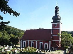
Schwandorf is a town on the river Naab in the Upper Palatinate, Bavaria, Germany, which is the seat of the Schwandorf district.
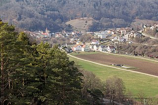
Solnhofen is a municipality in the district of Weißenburg-Gunzenhausen in the region of Middle Franconia in the Land of Bavaria in Germany. It is in the Altmühl valley.

Nersingen is a municipality in the District of Neu-Ulm in Bavaria, Germany. The neighbours are Neu-Ulm, Elchingen, Bibertal and Pfaffenhofen an der Roth.

Eichendorf(Bavarian: Oachadoaf) is a municipality in the district of Dingolfing-Landau in Bavaria in Germany.
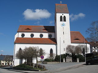
Gilching is a municipality in the district of Starnberg, in Bavaria, Germany. It is situated 13 km north of Starnberg, and 22 km west of Munich (centre). The quarters Argelsried, Neugilching and Geisenbrunn belong to the municipality of Gilching. Gilching can be easily reached using the Munich area public transportation. One S-Bahn Railway Station is called "Neugilching" which is directly situated at the S8 line - formerly it was the S5 line - in the "Herrsching" direction.
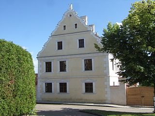
Wallerstein is a municipality and former principality in the district of Donau-Ries in Bavaria in Germany.
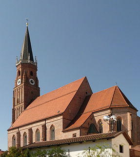
Geisenhausen is a municipality with market town status in the district of Landshut, in Bavaria, Germany. It is situated 14 km southeast of Landshut in the valley of the Kleine Vils.

Wittelshofen is a municipality in the district of Ansbach in Bavaria in Germany.

Burkardroth is a municipality in the district of Bad Kissingen in Bavaria in Germany.

Münsing is a municipality in the district of Bad Tölz-Wolfratshausen in Bavaria in Germany.

Blaibach is a municipality in the district of Cham in Bavaria in Germany.
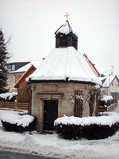
Kleinsendelbach is a municipality in the district of Forchheim in Bavaria in Germany. It is located about 17 Kilometers south of the town of Forchheim and 15 Kilometers to the east of the city of Erlangen, and is part of the administration community Dormitz.

Pretzfeld is a municipality in the district of Forchheim in Bavaria in Germany.
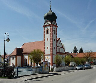
Langenbach is a municipality in the district of Freising in Bavaria in Germany.

Gmund am Tegernsee is a municipality in the district of Miesbach in Bavaria in Germany. The town is located on the north shore of the Tegernsee Lake, and near the source of River Mangfall. It is 46 kilometres (29 mi) from Munich and 15 kilometres (9.3 mi) from the district capital, the town of Miesbach.

Rottach-Egern is a municipality and town located at Lake Tegernsee in the district of Miesbach in Upper Bavaria, Germany, about 35 miles south of central Munich. Late Austrian actor Walter Slezak is buried in this area.

Tiefenbach is a municipality in the district of Passau in Bavaria in Germany.

Tann is a municipality in the district of Rottal-Inn in Bavaria, Germany. It has about 4,000 inhabitants and is 15 km from the corner of Austria away. Notable sites include the historic marketplace and the church St. Peter and Paul.

Schonstett is a municipality in the district of Rosenheim in Bavaria in Germany.

Kirchhaslach is a municipality in the district of Unterallgäu in Bavaria, Germany. The town has a municipal association with Babenhausen, Bavaria.
