 View of Seoul. This photo is not made from the pagoda atop Eungbongsan (2019) but from another octagon pavilion on Maebongsan, right between Eungbonsan and N Seoul Tower.
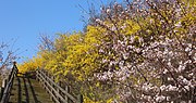 The mountain in spring (2016)
| Eungbongsan | |
|---|---|
 Springtime at Eungbongsan (2016) | |
| Highest point | |
| Elevation | 81 m (266 ft) |
| Coordinates | 37°32′52″N127°01′48″E / 37.5478°N 127.0299°E |
| Geography | |
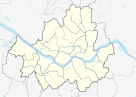 Eungbongsan 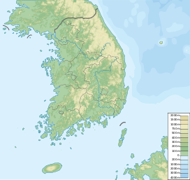 Eungbongsan Eungbongsan (South Korea) | |
| Korean name | |
| Hangul | 응봉산 |
| Hanja | 鷹峰山 |
| Revised Romanization | Eungbongsan |
| McCune–Reischauer | Ŭngbongsan |
Eungbongsan is a mountain in Eungbong-dong, Seongdong District, South Korea, bordering the Han River. It has an elevation of 94 metres. [1] [2] There is a traditional eight-sided pagoda at the top of the mountain with panoramic views of Seoul Capital Area including Gyeonggi Province.

