
Interstate 4 (I-4) is an Interstate Highway located entirely within the US state of Florida, maintained by the Florida Department of Transportation (FDOT). Spanning 132.30 miles (212.92 km) along a generally southwest–northeast axis, I-4 is entirely concurrent with State Road 400 (SR 400). In the west, I-4 begins at an interchange with I-275 in Tampa. I-4 intersects with several major expressways as it traverses Central Florida, including US Highway 41 (US 41) in Tampa; US 301 near Riverview; I-75 near Brandon; US 98 in Lakeland; US 27 in unincorporated Davenport; US 192 in Celebration; Florida's Turnpike in Orlando; and US 17 and US 92 in multiple junctions. In the east, I-4 ends at an interchange with I-95 in Daytona Beach, while SR 400 continues for roughly another four miles (6.4 km) and ends at an intersection with US 1 on the city line of Daytona Beach and South Daytona.

Interstate 295 (I-295), an auxiliary route of I-95, is a beltway around central Jacksonville, Florida, United States. The 61.04-mile-long (98.23 km) beltway consists of two segments, the West Beltway and the East Beltway, with I-95 serving as the dividing line between the two. The entire highway carries a hidden designation as SR 9A by the Florida Department of Transportation (FDOT). The West Beltway was constructed in the 1970s, with the East Beltway being built from the 1980s to the 2000s.

U.S. Route 92 or U.S. Highway 92 is a 181-mile (291 km.) U.S. Route entirely in the U.S. state of Florida. The western terminus is at US 19 Alt. and SR 687 in downtown St. Petersburg. The eastern terminus is at SR A1A in Daytona Beach.

State Road 15A is part of the Florida State Road System, and a suffixed alternate of State Road 15. Along with its parent route, SR 15A is signed north–south.
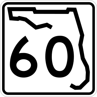
State Road 60, or Route 60 is an east–west route transversing Florida from the Gulf of Mexico to the Atlantic Ocean. The western terminus of SR 60 is at the Sunsets at Pier 60 site in Clearwater Beach. The eastern terminus is in Vero Beach near the Atlantic Coast just past State Road A1A.
State Road 570 (SR 570), also known as the Polk Parkway, is a 24-mile (39 km) controlled-access toll road which runs through Polk County, Florida. It is operated as part of Florida's Turnpike Enterprise system of tolled freeways. The Polk Parkway mainly serves as a beltway around Lakeland forming a semicircle, which along with I-4 circumscribes most of the city limits of Lakeland.
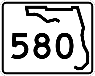
State Road 580 is a major commercial and commuter route serving northern Pinellas and central Hillsborough County, Florida, The western terminus is an intersection with Broadway Street ; the current eastern terminus is an intersection with 56th Street next to the campuses of Florida College and Florida Christian College in northeastern Tampa. The historical eastern terminus is an intersection with US 301-SR 43 near Temple Terrace, two miles (3 km) to the east.

State Road 54 is located in the Tampa Bay Area, north of Tampa itself, and runs from US 19 in Elfers in the west to US 301 in Zephyrhills, in the east. In between it passes through Wesley Chapel, Land o' Lakes, and Elfers.

State Road 37 (SR 37) is a state highway in Manatee and Polk counties in Florida, United States, that also passes through the very extreme southeast corner of Hillsborough. It connects Florida State Road 62 (SR 62) in Duette, Florida with Florida State Road 35 / Florida State Road 600 in Lakeland. It is signed as Church Avenue in Mulberry and South Florida Avenue in Lakeland.

U.S. Route 98 is a major east-west thoroughfare through the U.S. state of Florida. Spanning 670.959 miles (1,079.804 km), it connects Pensacola and the Alabama/Florida state line to the west with Palm Beach and the Atlantic coast in the east. It is the longest US road in Florida, as well as the longest US road in any state east of the Mississippi River.

U.S. Route 301 in Florida runs from the Sarasota-Bradenton-Venice, Florida Metropolitan Statistical Area northeast to the Greater Jacksonville Metropolitan Area. The road is a spur of U.S. Route 1, which it intersects in Callahan.

State Road 540 (SR 540) is a west–east route in Central Florida, serving Polk County. It runs 19.2 miles (30.9 km) from the south side of the city of Lakeland to U.S. Route 27. SR 540 also runs along the entrance to Legoland Florida. It is a major route along the south side of Winter Haven, where it is known as Cypress Gardens Boulevard, and an important link between Winter Haven and Lakeland, the Polk Parkway, and subsequently Interstate 4 (I-4) and the Tampa Bay area.

State Road 539 is a 2.5-mile-long (4.0 km) northwest–southeast route in Lakeland. SR 539 is also known as Kathleen Road, and is one of the main routes connecting downtown Lakeland with Interstate 4 (I-4).
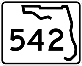
State Road 542 is a west–east route in Central Florida, serving Polk County. It runs 6 miles from downtown Winter Haven to west of downtown Dundee, Florida.

State Road 196 is a short east–west thoroughfare in downtown Pensacola, Florida. It runs from Tarragona Street east to U.S. Highway 98. The portion of the road from Tarragona Street east to Alcaniz Street is known as East Main Street, and consists of two through lanes with a center left-turn lane. East of Alcaniz Street, the road is a four-lane divided boulevard known as Bayfront Parkway. In combination with U.S. Highway 98, SR 196 connects the south end of downtown to the Pensacola Bay Bridge.

State Road 33 (SR 33) is a state highway running through Lake and Polk counties in the U.S. state of Florida.
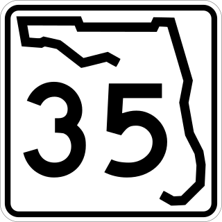
State Road 35 is a north–south state highway in the western counties of the U.S. state of Florida.

State Road 546 (SR 546) is a 5.837-mile-long (9.394 km) state highway in Lakeland, Polk County, Florida, that runs from Interstate 4 (I-4) to U.S. Route 92 (US 92) and SR 600. SR 546 is only signed for the first 1.731 miles (2.786 km), after which it is concurrent with US 92.
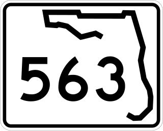
State Road 563 (SR 563) is a 4.912-mile-long (7.905 km) state highway in Lakeland, Polk County, Florida, that runs from 0.162 miles (0.261 km) south of Beaker Road to U.S. Route 92 and Martin Luther King Jr. Avenue.
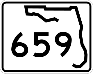
State Road 659 (SR 659) is a 7.625-mile-long (12.271 km) state highway in Polk County, Florida, that runs from U.S. Route 98 (US 98) and South Combee Road at Eaton Park to SR 33 and Village Lakes Boulevard in far northeast Lakeland via Crystal Lake and Combee Settlement.

