
U.S. Route 92 or U.S. Highway 92 is a 181-mile (291 km.) U.S. Route entirely in the U.S. state of Florida. The western terminus is at US 19 Alt. and SR 687 in downtown St. Petersburg. The eastern terminus is at SR A1A in Daytona Beach.
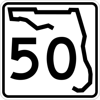
State Road 50 runs across the center of the U.S. state of Florida through Orlando, with its termini at SR 55 at Weeki Wachee and SR 5 in Titusville.
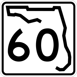
State Road 60, or Route 60 is an east–west route transversing Florida from the Gulf of Mexico to the Atlantic Ocean. The western terminus of SR 60 is at the Sunsets at Pier 60 site in Clearwater Beach. The eastern terminus is in Vero Beach near the Atlantic Coast just past State Road A1A.
State Road 570 (SR 570), also known as the Polk Parkway, is a 24-mile (39 km) controlled-access toll road which runs through Polk County, Florida. It is operated as part of Florida's Turnpike Enterprise system of tolled freeways. The Polk Parkway mainly serves as a beltway around Lakeland forming a semicircle, which along with I-4 circumscribes most of the city limits of Lakeland.

State Road 100 is a 153-mile-long (246 km) east–west highway serving northeast Florida. Its western terminus is at the Georgia-Florida border four miles (6.4 km) north of Avoca, Florida ; its eastern terminus is an intersection with Shore Scenic Highway in Flagler Beach. The portion west of Lake City is only signed as portions of US 41 and US 129, both of which run north–south.
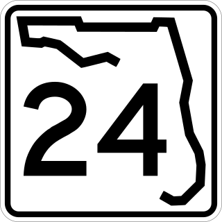
State Road 24 is an east–west state highway that runs between Cedar Key on the Gulf of Mexico and Waldo, Florida, at US 301. State Road 24 runs along a former branch of the Seaboard Air Line Railroad. This branch was originally owned by the Florida Railway and Navigation Company, and used to lead to ferries to both Pensacola, Florida and New Orleans, Louisiana. It also passes through Rosewood, site of the infamous 1923 massacre.

State Route 49 (SR 49) is a 122.8-mile-long (197.6 km) state highway that travels southwest-to-northeast through portions of Terrell, Sumter, Macon, Peach, Houston, Bibb, Jones, and Baldwin counties, mainly in the central part of the U.S. state of Georgia. The highway connects SR 45 north of Dawson to SR 22/SR 24 in Milledgeville.

State Road 559 (SR 559) is an 11-mile-long (18 km) state highway located entirely in Polk County, Florida. It is accessible to Auburndale and Polk City. It straddles the shoreline of Lake Ariana and Lake Juliana.

U.S. Highway 17 (US 17) in Florida is a north–south United States Numbered Highway that runs 317 miles (510 km) from the Punta Gorda, Florida Metropolitan Statistical Area northeast to the Jacksonville metropolitan area.

U.S. Highway 27 (US 27) in Florida is a north–south United States Numbered Highway. It runs 496.352 miles (798.801 km) from the Miami metropolitan area northwest to the Tallahassee metropolitan area. Throughout the state, US 27 has been designated the Claude Pepper Memorial Highway by the Florida Legislature. It was named after long-time Florida statesperson Claude Pepper, who served in both the U.S. Senate and House of Representatives. The stretch running from Miami to South Bay was originally designated the Thomas E. Will Memorial Highway by the Florida Legislature in 1937 when that portion was known as State Road 26 (SR 26). Thomas E. Will, the founder of Okeelanta, had worked for almost 20 years to get the state to build a road from Miami to the area south of Lake Okeechobee. For most of its length in the state, US 27 is a divided highway.

U.S. Route 98 is a major east-west thoroughfare through the U.S. state of Florida. Spanning 670.959 miles (1,079.804 km), it connects Pensacola and the Alabama/Florida state line to the west with Palm Beach and the Atlantic coast in the east. It is the longest US road in Florida, as well as the longest US road in any state east of the Mississippi River.
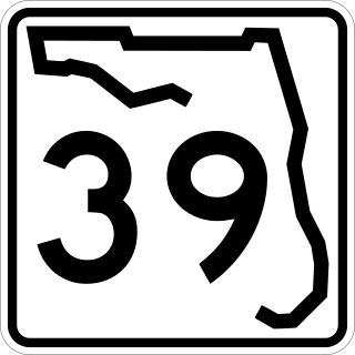
State Road 39 is a north–south state highway in eastern Pasco and Hillsborough County, Florida, United States. Between Plant City and Zephyrhills, the road is named Paul S. Buchman Highway. North of Zephyrhills, Florida the road is a secret state designation for U.S. Route 301 until the southern terminus of the concurrency with U.S. Route 98 south of Dade City, Florida.

State Road 64 extends from City Road 789 near the Gulf of Mexico in Holmes Beach on Anna Maria Island in Manatee County to US 27/US 98 in Avon Park in Highlands County. State Road 64 travels from west to east through the counties of Manatee, Hardee and Highlands.

State Road 540 (SR 540) is a west–east route in Central Florida, serving Polk County. It runs 19.2 miles (30.9 km) from the south side of the city of Lakeland to U.S. Route 27. SR 540 also runs along the entrance to Legoland Florida. It is a major route along the south side of Winter Haven, where it is known as Cypress Gardens Boulevard, and an important link between Winter Haven and Lakeland, the Polk Parkway, and subsequently Interstate 4 (I-4) and the Tampa Bay area.
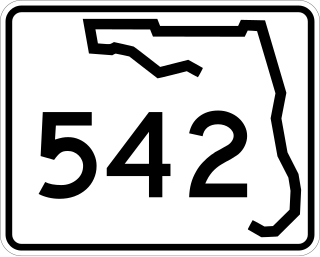
State Road 542 is a west–east route in Central Florida, serving Polk County. It runs 6 miles from downtown Winter Haven to west of downtown Dundee, Florida.

U.S. Route 278 (US 278) in the U.S. state of Georgia is an east–west United States Highway traversing the north-central portion of the state. The highway travels from the Alabama state line near Esom Hill to the South Carolina state line where it crosses the Savannah River in the Augusta metropolitan area.

State Road 544 (SR 544) is a west–east state road in the U.S. state of Florida. It runs 11.6 miles (18.7 km) from Auburndale to Haines City.

State Road 549 is a north–south state road in the U.S. state of Florida. It runs 1.5 miles (2.4 km) through the downtown of Winter Haven as 1st Street N, the north–south axis of the city's grid plan.

State Road 546 (SR 546) is a 5.837-mile-long (9.394 km) state highway in Lakeland, Polk County, Florida, that runs from Interstate 4 (I-4) to U.S. Route 92 (US 92) and SR 600. SR 546 is only signed for the first 1.731 miles (2.786 km), after which it is concurrent with US 92.
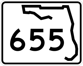
State Road 655 (SR 655) is a 7.125-mile-long (11.467 km) state highway in Polk County, Florida, that runs from U.S. Route 17 and County Road 655 at Eloise just south of Winter Haven city limits to U.S. Route 92 in western Auburndale.

