
Mittweida is a town in Saxony, Germany, in the Mittelsachsen district.
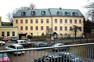
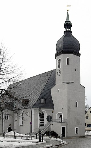
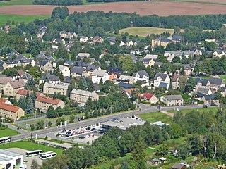
Hartmannsdorf is a small municipality in the district Mittweida, Saxony, Germany, near the town Chemnitz. As of 2020 it has a population of 4,421.

Marienberg is a town in Germany. It was the district capital of the Mittlerer Erzgebirgskreis in the southern part of Saxony, and since August 2008 it has been part of the new district of Erzgebirgskreis. As of 2020, the town had 16,716 inhabitants.

Frankenberg is a town in the district of Mittelsachsen, in Saxony, Germany. It is situated on the river Zschopau, 12 km (7.46 mi) northeast of Chemnitz, and some 40 km (24.85 mi) north of the border to the Czech Republic.

Oelsnitz is a town in the district Erzgebirgskreis, in Saxony, Germany. It is situated 14 km east of Zwickau, and 20 km southwest of Chemnitz. Between 1844 and 1971 hardcoal was mined in Oelsnitz and the surrounding towns. The major mine "Karl-Liebknecht" became a mining museum in 1986.

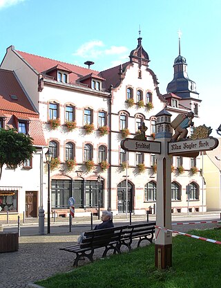
Burgstädt is a town in the district of Mittelsachsen, in Saxony, Germany. It is situated 12 km northwest of Chemnitz.

Zwönitz is a town in the district Erzgebirgskreis, in Saxony, Germany. It is situated 9 km (5.6 mi) south of Stollberg, and 24 km (15 mi) southwest of Chemnitz.
Olbernhau is a town in the district Erzgebirgskreis, in Saxony, Germany. It is situated in the Ore Mountains, 35 km southeast of Chemnitz, and 23 km north of Chomutov, Czech Republic.

Augustusburg is a town in the district of Mittelsachsen, in Saxony, Germany. It is situated 12 km east of Chemnitz. Augustusburg is known for its Jagdschloss, the hunting lodge of the same name.

Ehrenfriedersdorf is a town in the district of Erzgebirgskreis, in Saxony, Germany. It is situated 8 km northwest of Annaberg-Buchholz, and 21 km south of Chemnitz.

Frohburg is a town in the Leipzig district, in Saxony, Germany. It is situated 11 km northeast of Altenburg, and 34 km southeast of Leipzig. It includes the village of Flößberg and the town Kohren-Sahlis.
Lugau is a town in the district Erzgebirgskreis, in the Free State of Saxony, Germany. It is situated 17 km east of Zwickau, and 17 km southwest of Chemnitz. The town has partnerships with Sallaumines (France) and Penzberg (Bavaria).
Lunzenau is a town in the district of Mittelsachsen, in Saxony, Germany. It is situated on the river Zwickauer Mulde, 16 km west of Mittweida, and 18 km northwest of Chemnitz.

Oberlungwitz is a town in the Zwickau district, in Saxony, Germany. It is situated 18 km northeast of Zwickau, and 15 km west of Chemnitz.

Oederan is a town in the district of Mittelsachsen, in Saxony, Germany.
Penig is a town in the district of Mittelsachsen, in the Free State of Saxony, Germany. It is situated on the river Zwickauer Mulde, 19 km northwest of Chemnitz. The old and the new castle were owned by the House of Schönburg from 1378 until 1945. Penig housed a concentration camp during World War II.

Lichtenstein is a town in the Zwickau district, in Saxony, Germany. It is situated 11 km northeast of Zwickau, and 22 km southwest of Chemnitz. It was owned by the House of Schönburg from 1286 until 1945.
Eppendorf is a municipality in the district of Mittelsachsen, in Saxony, Germany.
Rechenberg-Bienenmühle is a municipality in the district of Mittelsachsen, in Saxony, Germany.

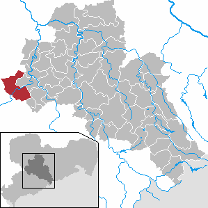
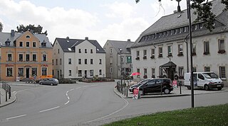
Mühlau is a municipality in the district of Mittelsachsen, in Saxony, Germany. Mühlau lies in the arch mountain foothills approximately 3 kilometers to the north of Limbach-Oberfrohna, and 15 kilometers northwest of Chemnitz. The settlers of Mühlau originally came from Mehlem on the Rhine. The local name Mühlau is derived from the former home town.


