
Vilshofen an der Donau is a town in the German district of Passau.

Pleystein is a municipality in the district of Neustadt an der Waldnaab, in Bavaria, Germany. It is situated 18 km east of Weiden in der Oberpfalz, and 11 km west of Rozvadov.
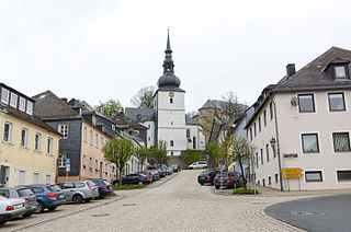
Schauenstein is a town in the district of Hof, in Bavaria, Germany. It is situated 13 km west of Hof.

Bischofswiesen is a municipality in the district of Berchtesgadener Land in Bavaria in Germany.

Wörth is a municipality in the district of Erding in Bavaria in Germany.

Heroldsbach is a municipality in the district of Forchheim in Bavaria in Germany.

Niederaichbach is a municipality in the district of Landshut in Bavaria in Germany.
Sauerlach is a municipality in the district of Munich in Bavaria in Germany.

Kirchendemenreuth is a municipality in the district of Neustadt an der Waldnaab in Bavaria, Germany. It includes the village (Dorf) of Steinreuth.

Kirchenthumbach is a municipality in the district of Neustadt an der Waldnaab in Bavaria, Germany.

Leuchtenberg is a municipality in the district of Neustadt an der Waldnaab in Bavaria, Germany, essentially a suburb of nearby Weiden in der Oberpfalz, and a larger historical region in the Holy Roman Empire governed by the Landgraves of Leuchtenberg.

Fürstenstein is a municipality in the district of Passau in Bavaria in Germany.

Beratzhausen is a market town and municipality in the district of Regensburg in Bavaria in Germany.

Schierling is a municipality in the district of Regensburg in Bavaria in Germany.

Babensham is a municipality in the district of Rosenheim in Bavaria in Germany. It lies on the river Inn.

Neusorg is a municipality in the district of Tirschenreuth in Bavaria, Germany. The town itself is the seat of Neusorg municipal federation.

Altenmarkt an der Alz is a municipality in the district of Traunstein in Bavaria, Germany.
Bergen is a municipality in the district of Traunstein in Bavaria, Germany.

Pfaffenhausen is a municipality in the district of Unterallgäu in Bavaria, Germany. The town is seat of a municipal association with Breitenbrunn, Swabia, Oberrieden, Bavaria and Salgen.

Güntersleben is a municipality in the district of Würzburg in Bavaria in Germany.


