Gaeland Township | |
|---|---|
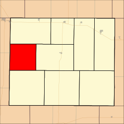 Location in Gove County | |
| Coordinates: 38°56′21″N100°43′55″W / 38.93917°N 100.73194°W | |
| Country | United States |
| State | Kansas |
| County | Gove |
| Area | |
• Total | 80.37 sq mi (208.15 km2) |
| • Land | 80.37 sq mi (208.15 km2) |
| • Water | 0 sq mi (0 km2) 0% |
| Elevation | 2,943 ft (897 m) |
| Population (2000) | |
• Total | 46 |
| • Density | 0.52/sq mi (0.2/km2) |
| GNIS feature ID | 0471376 |
Gaeland Township is a township in Gove County, Kansas, United States. As of the 2000 census, its population was 46.
