Germfask Township, Michigan | |
|---|---|
 Community of Germfask along M-77 | |
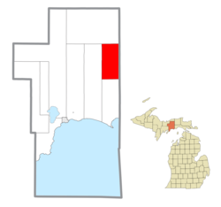 Location within Schoolcraft County | |
 Germfask Township Location within the state of Michigan  Germfask Township Germfask Township (the United States) | |
| Coordinates: 46°14′49″N85°56′22″W / 46.24694°N 85.93944°W | |
| Country | United States |
| State | Michigan |
| County | Schoolcraft |
| Government | |
| • Supervisor | Abby Burton |
| • Clerk | Lynn Krupla |
| Area | |
• Total | 71.63 sq mi (185.5 km2) |
| • Land | 66.43 sq mi (172.1 km2) |
| • Water | 5.20 sq mi (13.5 km2) |
| Elevation | 689 ft (210 m) |
| Population (2020) | |
• Total | 469 |
| • Density | 6.5/sq mi (2.5/km2) |
| Time zone | UTC-5 (Eastern (EST)) |
| • Summer (DST) | UTC-4 (EDT) |
| ZIP code(s) | 49836 (Germfask) 49853 (McMillan) |
| Area code | 906 |
| FIPS code | 26-31940 [1] |
| GNIS feature ID | 1626347 [2] |
Germfask Township is a civil township of Schoolcraft County in the U.S. state of Michigan. The population was 469 in 2020. [3]
Contents
The name was derived from the surname initials of eight of the original settlers of 1881: John Grant, Matthew Edge, William Robinson, Thaddeus Mead, Dr. W. W. French, Ezekiel Ackley, Oscar (O.D.) Sheppard, and Hezekiah Knaggs. [4] The community was a station on the Manistique Railway and was given a post office on February 26, 1890. [5]
