Glimåkra | |
|---|---|
 | |
 Glimåkra  Glimåkra 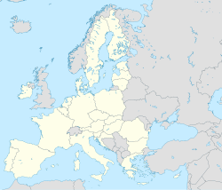 Glimåkra | |
| Coordinates: 56°18′N14°08′E / 56.300°N 14.133°E | |
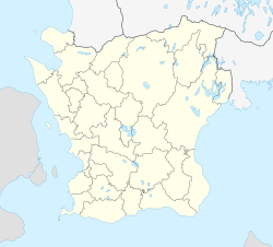
| Country | Sweden |
| Province | Scania |
| County | Scania County |
| Municipality | Östra Göinge Municipality |
| Area | |
• Total | 1.86 km2 (0.72 sq mi) |
| Population (31 December 2010) [1] | |
• Total | 1,383 |
| • Density | 745/km2 (1,930/sq mi) |
| Time zone | UTC+1 (CET) |
| • Summer (DST) | UTC+2 (CEST) |
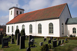
Glimåkra is a locality situated in Östra Göinge Municipality, Scania County, Sweden with 1,383 inhabitants in 2010. [1]
The hiking trail Skåneleden's oldest section, SL1 Kust till kust (Coast to coast) passes just north of the village, also featuring a smaller path leading to it from Trollabadet. [2] [3] As hikers approach the village from the east, the landscape transitions from dense woodland to bright and rocky pastures. [4] The path continues westwards towards Osby, passing through the nearby Trollabackarnas forest. [5]