This article needs additional citations for verification .(June 2025) |
Gossens | |
|---|---|
 Coat of arms | |
Location of Gossens  | |
 Gossens 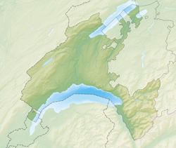 Gossens | |
| Coordinates: 46°44′N06°42′E / 46.733°N 6.700°E | |
| Country | Switzerland |
| Canton | Vaud |
| District | Yverdon |
| Area | |
• Total | 1.02 km2 (0.39 sq mi) |
| Elevation | 538 m (1,765 ft) |
| Population (2003) | |
• Total | 128 |
| • Density | 130/km2 (330/sq mi) |
| Time zone | UTC+01:00 (Central European Time) |
| • Summer (DST) | UTC+02:00 (Central European Summer Time) |
| Postal code(s) | 1407 |
| SFOS number | 5917 |
| ISO 3166 code | CH-VD |
| Surrounded by | Bioley-Magnoux, Cronay, Donneloye, Orzens |
| Website | Profile (in French), SFSO statistics |
Gossens was a municipality in the district of Yverdon of the canton of Vaud in Switzerland. It merged with neighbouring Donneloye on January 1, 2008. [1]
It is situated on the main road between Yverdon and Moudon. Its economy is mostly agricultural.