Groveland | |
|---|---|
 War memorial in Groveland | |
 Groveland Location of Groveland, Illinois  Groveland Groveland (Illinois) | |
| Coordinates: 40°35′28″N89°31′59″W / 40.59111°N 89.53306°W | |
| Country | United States |
| State | Illinois |
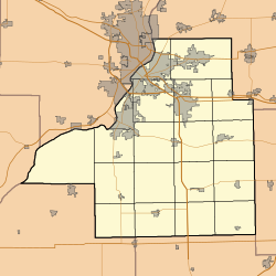
| County | Tazewell |
| Elevation | 778 ft (237 m) |
| Time zone | UTC-6 (CST) |
| • Summer (DST) | UTC-5 (CDT) |
| ZIP code | 61535 [1] |
| Area code | 309 |
Groveland is an unincorporated community in Tazewell County, Illinois, United States. It has a small library, a school which is now a church, gas station, war memorial, country store with restaurant and chapel, churches, Pyramid Printing Inc. and a handful of other small businesses. It has approximately 1400 residents and is located near Pekin and Morton. It lies within ten miles of Peoria, [2] near Springfield Road and Edgewater Drive, which is Illinois State Route 98.
