
The Arctic Archipelago, also known as the Canadian Arctic Archipelago, groups together all islands lying to the north of the Canadian continental mainland excluding Greenland.

USS Bogue (CVE-9) was the lead ship in the Bogue class of escort carriers in the United States Navy during World War II. She was originally classified AVG-9, but was changed to ACV-9, 20 August 1942; CVE-9, 15 July 1943; and CVHP-9, 12 June 1955. Aircraft operating from Bogue, plus her escorts, sank eleven German and two Japanese submarines, making her the most successful anti-submarine carrier in World War II.

Tuyên Quang is a city in Vietnam, and is the capital of Tuyên Quang Province.

San Luis de la Reina is a municipality in the San Miguel department of El Salvador.
San Cayetano Istepeque, is a municipality in the San Vicente department of El Salvador. Its altitude is approximately 510 m.
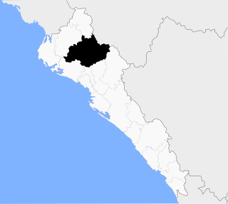
Andoain is a town in the province of Gipuzkoa, in the autonomous community of Basque Country, in the North of Spain. Nowadays it has a population of 14,637 inhabitants (2019), which has been quite stable since the 90s.

Amherst Airport(TC LID: CCQ4) is an abandoned airport that was located 1 NM west of Amherst, Nova Scotia, Canada. It was a small turf airstrip, located perpendicular to Highway 104 opposite the Amherst Industrial Park.

Sokoľ is a village and municipality in Košice-okolie District in the Kosice Region of eastern Slovakia.

Tarhos is a village in Békés County, in the Southern Great Plain region of south-east Hungary.

La Ercina is a municipality located in the province of León, Castile and León, Spain. According to the 2004 census (INE), the municipality has a population of 681 inhabitants.

Kalina is a village in the administrative district of Gmina Warka, within Grójec County, Masovian Voivodeship, in east-central Poland. It lies approximately 4 kilometres (2 mi) north of Warka, 25 km (16 mi) east of Grójec, and 47 km (29 mi) south of Warsaw.
Piotrkówek Duży is a village in the administrative district of Gmina Ożarów Mazowiecki, within Warsaw West County, Masovian Voivodeship, in east-central Poland. It lies approximately 2 kilometres (1 mi) east of Ożarów Mazowiecki and 13 km (8 mi) west of Warsaw.

Koin, Guinea is a town and sub-prefecture in the Tougué Prefecture in the Labé Region of northern-central Guinea.

Voznice is a village and municipality in Příbram District in the Central Bohemian Region of the Czech Republic.
Municipality of Sinaloa is a municipality in the state of Sinaloa in northwestern Mexico. Its seat is Sinaloa de Leyva.

Chuni, Sichuan is a town in the Garzê Tibetan Autonomous Prefecture of Sichuan, China.
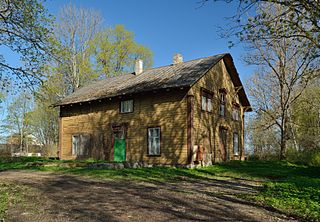
Linnape is a village in Tapa Parish, Lääne-Viru County, in northeastern Estonia.
Teenuse is a village in Märjamaa Parish, Rapla County in western Estonia.
Pollard Glacier is a glacier flowing into the south side of Comrie Glacier to the east of Bradford Glacier, on the west coast of Graham Land. Mapped by the Falkland Islands Dependencies Survey (FIDS) from photos taken by Hunting Aerosurveys Ltd. in 1956–57. Named by the United Kingdom Antarctic Place-Names Committee (UK-APC) for Alan F.C. Pollard (1877–1948), English documentalist, founder and first president of the British Society for International Bibliography, and pioneer in the introduction of the Universal Decimal Classification into British libraries.
This page is based on this
Wikipedia article Text is available under the
CC BY-SA 4.0 license; additional terms may apply.
Images, videos and audio are available under their respective licenses.


