Hartland Township | |
|---|---|
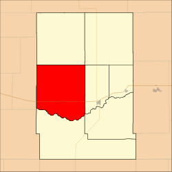 Location in Kearny County | |
| Coordinates: 38°00′33″N101°25′55″W / 38.00917°N 101.43194°W | |
| Country | United States |
| State | Kansas |
| County | Kearny |
| Area | |
• Total | 149.73 sq mi (387.81 km2) |
| • Land | 149.70 sq mi (387.71 km2) |
| • Water | 0.039 sq mi (0.1 km2) 0.03% |
| Elevation | 3,307 ft (1,008 m) |
| Population (2000) | |
• Total | 128 |
| • Density | 0.78/sq mi (0.3/km2) |
| GNIS feature ID | 0485278 |
Hartland Township is a township in Kearny County, Kansas, United States. As of the 2000 census, its population was 128. [1]
