
Puchheim is a town near Munich in the district of Fürstenfeldbruck, in Bavaria, Germany. It has about 20,000 inhabitants.

Taufkichen is a small community south of Munich, near Oberhaching and Unterhaching in Bavaria, southern Germany.

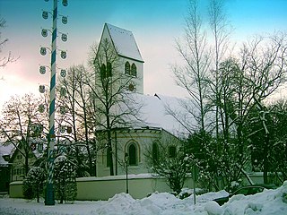
Karlsfeld is a municipality in the district of Dachau, in Bavaria, Germany. During World War II, it was the location of a subcamp of Dachau concentration camp.

Neufahrn bei Freising is a municipality in the district of Freising, in Bavaria, Germany. It has about 20,000 inhabitants and is located near the river Isar, 12 km southwest of Freising and 20 km northeast of Munich.

Haar is a municipality in the district of Munich, in Bavaria, Germany. It is 12 km east of Munich (centre). As of 2017 it had a population of more than 20,000.
Gräfelfing is a municipality in the district of Munich, in Bavaria, Germany. It is located 1 km west of Munich.

Dorfen is a town in the district of Erding, in Bavaria, Germany. It is situated 50 km east of Munich and 29 km south of Landshut.
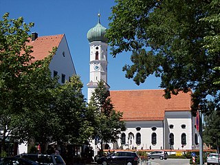
Kirchheim bei München is a municipality in the district of Munich, in Bavaria, Germany. It is located 14 km east of Munich (centre). As of 2020 it has a population of 12,787.
Grünwald is a municipality in the district of Munich, in the state of Bavaria, Germany. It is located on the right bank of the Isar, 12 km southwest of Munich (centre). As of 31 December 2011 it had a population of 11,109.

Mammendorf is a municipality in Bavaria, Germany. It is located halfway between Munich and Augsburg.
Höhenkirchen-Siegertsbrunn is a municipality in Upper Bavaria, situated south of Munich. It is one of the municipalities with the longest names in Germany, the longest being Hellschen-Heringsand-Unterschaar.

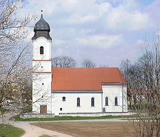
Feldkirchen is a municipality in the district of Munich, Bavaria, Germany. It is located 10 km east of Munich and has 5,987 inhabitants. Feldkirchen was first mentioned in a document dated 853.
Aying is a municipality in the district of Munich in Bavaria, Germany. It is known for the Ayinger Brewery.
Brunnthal is a municipality in the district of Munich in Bavaria in Germany.

Grasbrunn is a municipality in the district of Munich in Bavaria in Germany.
Putzbrunn is a town in the district of Munich, Bavaria in Germany.
Sauerlach is a municipality in the district of Munich in Bavaria in Germany.

Straßlach-Dingharting is a municipality in the district of Munich in Bavaria in Germany.

Pähl am Ammersee is a municipality in the Weilheim-Schongau district, in Bavaria, Germany. It is on the lake of Ammersee to the southwest of Munich.

Neuried is a municipality in the district of Munich in Bavaria in Germany.


