
Illinois Route 5 (IL 5) is a four-lane road in Rock Island County, Illinois, United States, that runs from U.S. Route 67 (US 67) in Rock Island to the interchange of Interstate 80 (I-80) and the toll-free portion of I-88, a distance of 15.78 miles (25.40 km). IL 92 also continues eastbound on I-88.
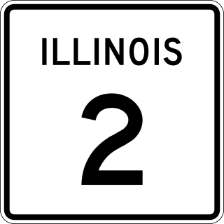
Illinois Route 2 is a north–south state road in northern Illinois. It currently starts at Illinois Route 40 in Sterling and ends at the Wisconsin state line in South Beloit, very near the intersection with U.S. Route 51, Illinois Route 75 and Illinois Route 251. Illinois 2 is 73.91 miles (118.95 km) long.
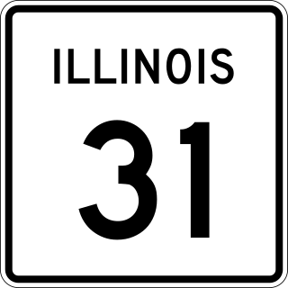
Illinois Route 31 (IL 31) is a 58.41-mile-long (94.00 km) north–south state road in northeastern Illinois, United States. It travels from U.S. Route 34 (US 34) in Oswego north to US 12, near the Wisconsin state line, just south of Richmond.
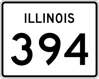
Illinois Route 394, also known as the Calumet Expressway, is a 14.6-mile-long (23.5 km) four-lane state highway that travels north from a junction with IL 1 south of Crete to an interchange in South Holland with Interstate 294/Interstate 94/Interstate 80. Although not an Interstate Highway, Illinois 394 is an Interstate-standard highway from its junction with Sauk Trail at Sauk Village to its northern terminus at the I-294/I-94/I-80 interchange in South Holland. IL 394 functions as a bypass of IL 1 to the west, of which it was formerly part, and provides access to southern suburbs of Chicago.

Illinois Route 38 is an 88.86-mile-long (143.01 km) west–east state highway that runs across northern Illinois. It runs from U.S. Route 52 (US 52) in downtown Dixon to US 12/US 20/US 45 in Westchester. It runs concurrently with the Lincoln Highway between Dixon and the junction of Illinois Route 31 in Geneva where it transitions via State Street onto Roosevelt Road at the junction of Kirk Road and continues through the western suburbs to its terminus at the junction of Mannheim Road. Roosevelt Road continues on an additional 14 miles without a route designation until terminating at US 41.

Illinois Route 116 is a 176.07-mile-long (283.36 km) cross-state rural state highway that runs from U.S. Route 34 by Gladstone east to the intersection of US 45 and Old US 45, on the north side of Ashkum.

Interstate 255 (I-255) is a bypass route of I-55 in Greater St. Louis. Along with I-270, it forms a loop around the central portion of the bi-state metro area; a majority of I-255 is located on the Illinois half. It shares its southern terminus with I-270 at the junction with I-55; I-270 and I-255 go to the west and east, respectively. U.S. Route 50 (US 50) joins I-255 at Lemay Ferry Road. It crosses the Mississippi River on the Jefferson Barracks Bridge, enters Illinois, and then turns northeast. There is a junction with I-64, where US 50 breaks off and goes east, and then further north there is a junction with I-55 again, I-70, and US 40, all of which are all cosigned together. The next junction is another one with I-270, which is the northern terminus of I-255. After that, the limited-access freeway continues on as Illinois Route 255 (IL 255). I-255 is 30.82 miles (49.60 km) in length.
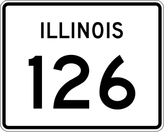
Illinois Route 126 (IL 126) is a 17.25-mile-long (27.76 km) east–west state highway in the northern part of the U.S. state of Illinois. It travels from IL 47 in Yorkville to Interstate 55 (I-55) between Plainfield and Bolingbrook.
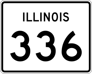
Illinois Route 336 is a four-lane freeway/expressway combination that serves western Illinois. It is also used by the Illinois Department of Transportation (IDOT) as a part of Federal-Aid Primary Highway 315 (FAP315) to refer to a future project connecting the cities of Quincy and Peoria via underserved Macomb.
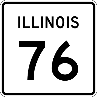
Illinois Route 76 is a north–south state road in far north-central Illinois. It runs from the U.S. Highway 20 bypass around Belvidere north to the Wisconsin State Line at Highway 140. This is a distance of 15.67 miles (25.22 km).

U.S. Route 54 (US 54) in Illinois is a 23.9-mile-long (38.5 km) east–west highway that travels from the Champ Clark Bridge on the Missouri state line to I-72/US 36/IL 107 south of Griggsville. At its greatest extent, US 54 used to continue east to Springfield, then northeast to Onarga, and then north all the way to Downtown Chicago.

U.S. Route 40 (US 40) runs east–west across south central Illinois for 159.8 miles (257.2 km). US 40 enters the state from Missouri across the Poplar Street Bridge over the Mississippi River at East St. Louis concurrent with Interstate 55 (I-55) and I-64 and exits just south of State Line, Indiana, running concurrently with I-70. For the majority of its route through Illinois, US 40 follows the National Road, including the route's initial western terminus at Vandalia.
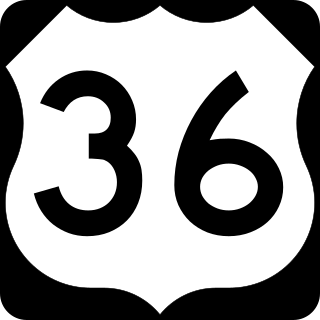
In the U.S. state of Illinois, U.S. Route 36 (US 36) is an east–west highway that runs across the central portion of the state. It runs east from Missouri over the Mark Twain Memorial Bridge over the Mississippi River with Interstate 72. The eastern terminus of U.S. 36 in Illinois is located near the unincorporated area of Raven near the Illinois-Indiana state line. This is a distance of 216.47 miles (348.37 km).

Interstate 70 (I-70) is a part of the Interstate Highway System that travels from Cove Fort, Utah, to Baltimore, Maryland. In the US state of Illinois, the highway travels 160 miles (260 km) from the Missouri state line at the Mississippi River in Brooklyn east to the Indiana state line near Marshall. I-70, which travels in a generally east-northeast direction across the state parallel to and sometimes concurrent with U.S. Route 40 (US 40), connects St. Louis and the Metro East region of Illinois with the Indiana cities of Terre Haute and Indianapolis, as well as many small towns along the northern edge of Southern Illinois and the southern tier of the Central Illinois region. Within Metro East, I-70 has interchanges with I-64 in East St. Louis and I-55 near Troy. I-70 also has interchanges with the two Interstates that form St. Louis's beltway: I-255 near Collinsville and I-270 at the I-55 junction near Troy. East of the Metro East region, I-70 meets US 51 in Vandalia and both I-57 and US 45 in Effingham. Like all Interstate Highways, I-70 is a part of the National Highway System for its entire length in Illinois.

There have been 22 special routes of U.S. Route 66.
U.S. Route 40 has at least eight extant special routes.

Numerous special routes of U.S. Route 67, all business routes, exist. One other route, formerly an alternate route in western Illinois, has since been downgraded to state Route 267.

The Chicago–Kansas City Expressway is a highway that runs between Chicago, Illinois, and Kansas City, Missouri. The road is known as Route 110 in Missouri and Illinois Route 110 (IL 110) in Illinois. IL 110 was created through legislation on May 27, 2010, as the designated route for the Illinois portion of the Chicago–Kansas City Expressway.

Several special routes of U.S. Route 50 exist. In order from west to east they are as follows.
U.S. Route 67 (US 67) is a component of the United States Numbered Highway System that connects Presidio, Texas, to Sabula, Iowa. In Illinois, it serves the western Illinois region known as Forgottonia, named for the lack of regional transportation and infrastructure projects, residents felt forgotten by Springfield and Washington. The highway begins its path through the state by crossing the Clark Bridge over the Mississippi River from Missouri at Alton and heads northward through Jerseyville and Jacksonville before it crosses the Illinois River at Beardstown. The northern half of the route serves Macomb and Monmouth before it enters the Quad Cities. It leaves the state at Rock Island by crossing the Rock Island Centennial Bridge over the Mississippi River into Davenport, Iowa.


