| Lake Iro | |
|---|---|
 Sentinel-2 image (2021) | |
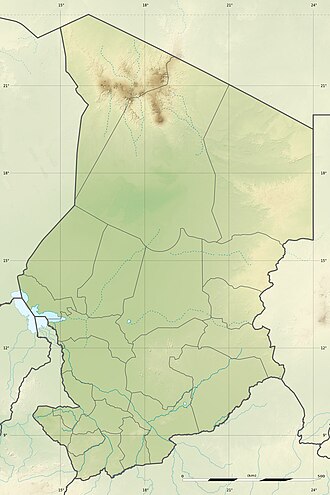 Lake Iro Location in Chad | |
| Location | Moyen-Chari Region; Chad |
| Coordinates | 10°06′N19°25′E / 10.100°N 19.417°E |
| Primary inflows | Bahr Salamat |
| Primary outflows | evaporation |
| Basin countries | Chad |
| Max. length | 13 km (8.1 mi) |
| Max. width | 11 km (6.8 mi) |
| Surface area | 110 km2 (42 sq mi) |
| Surface elevation | 386 m (1,266 ft) |
| Islands | no |
| Settlements | Boum Kabir |
Iro Lake (French : Lac Iro) is a cyclically occurring lake in the Moyen-Chari Region in southeastern Chad. It is fed in the summer and autumn months from the eastern arm of the Bahr Salamat, which forks seven kilometers southwest of the lake. The lake is about 100 kilometers north of the border with the Central African Republic. It is nearly circular, 13 kilometers long and 11 kilometers wide. During the dry season it can completely run dry.
Contents
It has been suspected that the depression is the remains of an impact crater. [1] [2]