Itigi

Last updated
Itigi
Town
Tanzania location map.svg
Red pog.svg
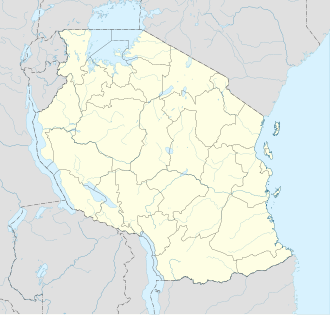
Itigi
Location in Tanzania
Coordinates: 5°42′S34°29′E / 5.700°S 34.483°E / -5.700; 34.483
CountryFlag of Tanzania.svg Tanzania
Region Singida Region
District Itigi District
Elevation
4,285 ft (1,306 m)
Population
 (2022 census) [1]
  Total
24,000
Time zone UTC+3 (East Africa Time)
Climate BSh

Itigi is a town in central Tanzania. It is located in Itigi District of the Singida Region.

Contents

Paddy fields near Itigi. Rice at plantation at Itigi Tanzania.jpg
Paddy fields near Itigi.

The town is made up of the wards Itigi and Itigi Majengo. According to the 2012 Tanzania National Census, the population of these two wards combined was 21,777. [2]


Transport

Unpaved Trunk road T18 from Manyoni to Tabora and unpaved trunk road T22 from Singida Region to Mbeya Region pass through the town. [3]

Itigi is a station on the Central Line of Tanzanian Railways.

See also

Fish named after village

Nothobranchius itigiensis Nagy, Watters & Bellstedt, 2020 was named after the village because the fish was origianlly found nearby. [4]

References

  1. Citypopulation.de Population of cities & urban localities in Tanzania
  2. "Census 2012". National Bureau of Statistics. Archived from the original on 5 March 2016. Retrieved 9 March 2016.
  3. "Road Networks". Tanroads. Archived from the original on 3 April 2016. Retrieved 23 February 2016.
  4. Christopher Scharpf & Kenneth J. Lazara (22 September 2018). "Order CYPRINODONTIFORMES: Families APLOCHEILIDAE and NOTHOBRANCHIIDAE". The ETYFish Project Fish Name Etymology Database. Christopher Scharpf and Kenneth J. Lazara. Retrieved 21 September 2025.

05°42′S34°29′E / 5.700°S 34.483°E / -5.700; 34.483