Yamato was a village located in Makabe District, Ibaraki Prefecture, Japan.

Takase is a former town located in Mitoyo, Kagawa Prefecture, Japan. As of 2019, the area had an estimated population of 15,294 in 6,048 households and a population density of 271 persons per km2. The total area is 56.36 km2.
Fukube was a village located in Iwami District, Tottori Prefecture, Japan.

Iwami is a district located in Tottori Prefecture, Japan.
Mochigase was a town located in Yazu District, Tottori Prefecture, Japan.
Saji was a village located in Yazu District, Tottori Prefecture, Japan.

Yazu is a district located in Tottori Prefecture, Japan.
Aoya was a town located in Ketaka District, Tottori Prefecture, Japan.

Kameda was a town located in Nakakanbara District, Niigata Prefecture, Japan.

Edosaki was a town located in Inashiki District, Ibaraki Prefecture, Japan.
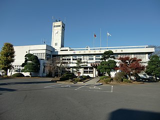
Sakuragawa is a city located in Ibaraki Prefecture, Japan. As of 1 July 2020, the city had an estimated population of 39,072 in 13,721 households and a population density of 217 persons per km². The percentage of the population aged over 65 was 34.3%. The total area of the city is 180.06 square kilometres (69.52 sq mi).

Makabe was a town located in Makabe District, Ibaraki Prefecture, Japan.
Makabe was a district located in Ibaraki Prefecture, Japan.

Iwase was a village located in Iwase District, Fukushima Prefecture, Japan.
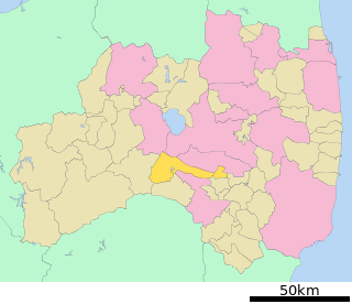
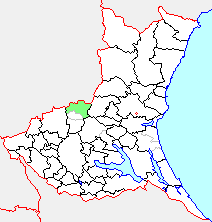
Iwase is a district located in Fukushima Prefecture, Japan.

Iwaki was a town located in Yuri District, Akita Prefecture, Japan.

Hiraka was a rural district located in southern Akita, Japan. On 1 October 2005, its remaining components- the towns of Hiraka, Jūmonji, Masuda, Omonogawa, Ōmori; and the villages of Sannai and Taiyū- merged into the city of Yokote, upon which Hiraka District was dissolved and ceased to exist as an administrative unit.
Tōda is a district located in Miyagi Prefecture, Japan.

Iwase Station is a passenger railway station in the city of Sakuragawa, Ibaraki, Japan, operated by East Japan Railway Company.

Hondōri Iwamura-chō is the name of the town center of Iwamura in Ena, Gifu Prefecture, and was designated as one of the Important Preservation Districts for Groups of Traditional Buildings on April 17, 1998. It is the merchant district of a former castle town that prospered during the Edo period as a political, cultural and economic center of the Tōnō region.