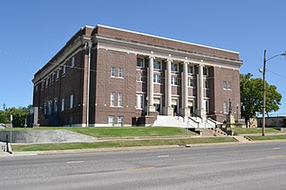
Montgomery County is a county located in Southeast Kansas. Its county seat is Independence, and its most populous city is Coffeyville. As of the 2020 census, the county population was 31,486. The county was named after Richard Montgomery, a major general during the American Revolutionary War.

Shawnee County is located in northeast Kansas, in the central United States. Its county seat and most populous city is Topeka, the state capital. As of the 2020 census, the population was 178,909, making it the third-most populous county in Kansas. The county was one of the original 33 counties created by the first territorial legislature in 1855, and it was named for the Shawnee tribe.
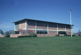
Jefferson County is a county located in the U.S. state of Kansas. Its county seat and most populous city is Oskaloosa. As of the 2020 census, the county population was 18,368. The county was named after Thomas Jefferson, the 3rd president of the United States.

Jefferson Township is a township in Chautauqua County, Kansas, United States. As of the 2000 census, its population was 834.
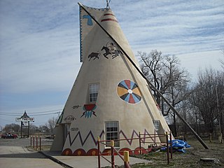
Grant Township is a township in Douglas County, Kansas, USA. As of the 2000 census, its population was 442.

Lecompton Township is a township in Douglas County, Kansas, USA. As of the 2000 census, its population was 1,761.

Wakarusa Township is a township in Douglas County, Kansas, United States. As of the 2010 census, its population was 2,318. It was named for the Wakarusa River which flows through Douglas County from Wabaunsee County to the Kansas River near Eudora.

Jefferson Township is a township in Geary County, Kansas, USA. As of the 2000 census, its population was 1,651.

Banner Township is a township in Jackson County, Kansas, United States. As of the 2000 census, its population was 300. The southernmost part of the township is located within the Prairie Band Potawatomi Indian Reservation.

Douglas Township is a township in Jackson County, Kansas, United States. As of the 2000 census, its population was 2,135.

Jefferson Township is a township in Jackson County, Kansas, United States. As of the 2000 census, its population was 494.

Delaware Township is a township in Jefferson County, Kansas, USA. As of the 2000 census, its population was 2,034.

Jefferson Township is a township in Jefferson County, Kansas, USA. As of the 2000 census, its population was 1,240.

Norton Township is a township in Jefferson County, Kansas, USA. As of the 2000 census, its population was 955.
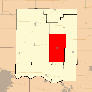
Oskaloosa Township is a township in Jefferson County, Kansas, USA. As of the 2000 census, its population was 2,142.
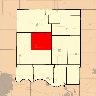
Ozawkie Township is a township in Jefferson County, Kansas, USA. As of the 2000 census, its population was 1,408.

Rural Township is a township in Jefferson County, Kansas, USA. It was formed in 1871, from the territory of Kentucky Township and Sarcoxie Township. As of the 2000 census, its population was 804.

Sarcoxie Township is a township in Jefferson County, Kansas, USA. As of the 2000 census, its population was 958.

Union Township is a township in Jefferson County, Kansas, USA. As of the 2000 census, its population was 1,672.


