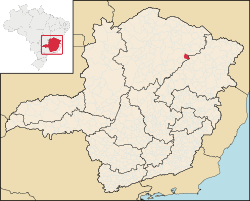
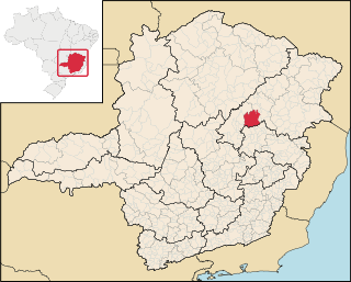
Josenópolis is a Brazilian municipality located in the north of the state of Minas Gerais. In 2020 the population was 4,889 in a total area of 536 km2. [1] It became a municipality in 1997. [2] [3]
Josenópolis is a Brazilian municipality located in the north of the state of Minas Gerais. In 2020 the population was 4,889 in a total area of 536 km2. [1] It became a municipality in 1997. [2] [3]
Josenópolis is located in the foothills of the Serra do Espinhaço mountains southeast of Montes Claros at an elevation of 692 meters. It is north of the Rio Jequitinhonha and is connected by dirt road to other population centers. The Rio Vacaria, a tributary of the Rio Jequitinhonha, flows into the Jequitinhonha. Neighboring municipalities are: Grão Mogol, Padre Carvalho, and Coronel Murta.
Josenópolis is part of the statistical microregion of Grão Mogol. [4]
The most important economic activities are cattle raising (4,000 head in 2006) and subsistence agriculture. The GDP in 2005 was R$ 10,399,000. The most important agricultural crops are bananas, coffee, peanuts, sugarcane, and corn. In the rural area there were 446 producers. The total area of agricultural land was 15,000 hectares in 2006, of which 1,000 ha. were in crops. As of 2006 there were only 02 tractors. In the urban area there were no banking agencies in 2006. [3]
This municipality is isolated from major population centers and suffers from drought and poor soils.
[5] The highest ranking municipality in Minas Gerais in 2000 was Poços de Caldas with 0.841, while the lowest was Setubinha with 0.568. Nationally the highest was São Caetano do Sul in São Paulo with 0.919, while the lowest was Setubinha.

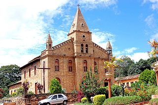
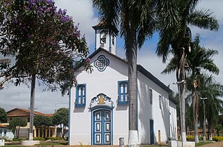
Virgem da Lapa is a Brazilian municipality located in the northeast of the state of Minas Gerais. Its population as of 2020 was estimated to be 13,740 people living in a total area of 871 km2 (336 sq mi). The city belongs to the mesoregion of Jequitinhonha and to the microregion of Araçuaí. It became a municipality in 1948.

Matutina is a Brazilian municipality located in the northwest of the state of Minas Gerais. Its population as of 2020 was 3,741 people living in a total area of 260 km². The city belongs to the mesoregion of Triângulo Mineiro e Alto Paranaiba and to the microregion of Patos de Minas. It became a municipality in 1953.

Olhos-d'Água is a Brazilian municipality located in the north of the state of Minas Gerais. Its population as of 2020 was 6,171 people living in a total area of 2,086 km2. The city belongs to the mesoregion of North of Minas and to the microregion of Bocaiúva. It became a municipality in 1997.

Capelinha is a Brazilian municipality located in the north-center of the state of Minas Gerais. Its population as of 2020 was 38,057 living in a total area of 966 km². The city belongs to the statistical mesoregion of Jequitinhonha and to the statistical microregion of Capelinha. It became a municipality in 1913.
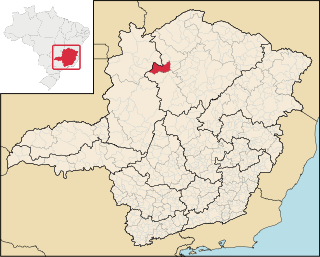
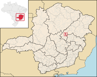
Grão Mogol is a Brazilian municipality located in the north of the state of Minas Gerais. In 2020 the population was 15,890 in a total area of 3,890 km2. The elevation is 829 meters. It became a municipality in 1840.

Novo Cruzeiro is a Brazilian municipality located in the northeast of the state of Minas Gerais. Its population as of 2020 was estimated to be 31,335 people living in a total area of 1,701 km2. The city belongs to the mesoregion of Jequitinhonha and to the microregion of Araçuaí. The elevation of the municipal seat is 980 meters. It became a municipality in 1943.

Botumirim is a Brazilian municipality located in the north of the state of Minas Gerais. In 2020 the population was 6,288 in a total area of 1,572 km2. The elevation is 948 meters. It became a municipality in 1962.

Cristália is a Brazilian municipality located in the north of the state of Minas Gerais. In 2020 the population was 5,982 in a total area of 841 km2. The elevation is 728 meters. It became a municipality in 1962.

Itacambira is a Brazilian municipality located in the north of the state of Minas Gerais. In 2020 the population was 5,417 in a total area of 1,788 km². It became a municipality in 1962.

Padre Carvalho is a Brazilian municipality located in the north of the state of Minas Gerais. In 2020 the population was 6,423 in a total area of 450 km². It became a municipality in 1997.

Ibiaí is a Brazilian municipality located in the north of the state of Minas Gerais. In 2020 the population was 8,437 in a total area of 870 km². It became a municipality in 1963.

Jequitaí is a Brazilian municipality located in the north of the state of Minas Gerais. In 2020 the population was 7,468 in a total area of 1,268 km2. It became a municipality in 1948.
São Romão is a Brazilian municipality located in the north of the state of Minas Gerais. In 2020 the population was 12,529 in a total area of 2,432 km². It became a municipality in 1943.
Lassance is a Brazilian municipality located in the north of the state of Minas Gerais. In 2020 the population was 6,503 in a total area of 3,213 km². It became a municipality in 1953.
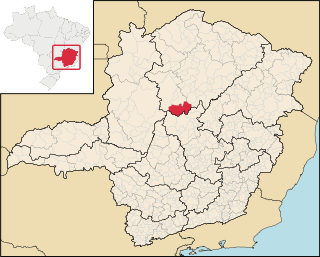
Itamarandiba is a Brazilian municipality located in the north-center of the state of Minas Gerais. Its population as of 2020 was 34,936 living in a total area of 2,736 km2.
Couto de Magalhães de Minas is a Brazilian municipality located in the north-center of the state of Minas Gerais. Its population as of 2020 was 4,423 living in a total area of 484 km². The city belongs to the statistical mesoregion of Jequitinhonha and to the statistical microregion of Diamantina. It became a municipality in 1963.

Felício dos Santos is a Brazilian municipality located in the center-north of the state of Minas Gerais. Its population as of 2020 was 4,704 living in a total area of 358 km². The city belongs to the statistical mesoregion of Jequitinhonha and to the statistical microregion of Diamantina. It became a municipality in 1962.

Gouveia is a Brazilian municipality located in the center of the state of Minas Gerais. Its population as of 2020 was 11,818 living in a total area of 874 km2. The city belongs to the statistical mesoregion of Jequitinhonha and to the statistical microregion of Diamantina. It became a municipality in 1953.

Presidente Kubitschek is a Brazilian municipality in the state of Minas Gerais. Its population as of 2020 was 3,001 living in a total area of 189 km2. The city belongs to the statistical mesoregion of Jequitinhonha and to the statistical microregion of Diamantina. It became a municipality in 1962.
São Gonçalo do Rio Preto is a Brazilian municipality in the state of Minas Gerais. Its population as of 2020 was 3,173 living in a total area of 313 km2.