Jungar जुङ्गर | |
|---|---|
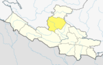
 Jungar Location in Nepal | |
| Coordinates: 28°20′N82°26′E / 28.33°N 82.43°E | |
| Country | |
| Zone | Rapti Zone |
| District | Rolpa District |
| Population (2011) | |
• Total | 5,169 |
| Time zone | UTC+5:45 (Nepal Time) |
Jungar is a village development committee in Rolpa District in the Rapti Zone of north-eastern Nepal. At the time of the 2011 Nepal census it had a population of 5,169 people living in 1,019 individual households. [1]