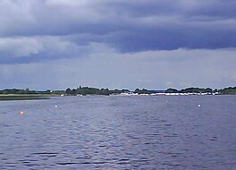
The River Corrib in the west of Ireland flows from Lough Corrib through Galway to Galway Bay. The river is among the shortest in Europe, with only a length of six kilometres from the lough to the Atlantic. It is popular with local whitewater kayakers as well as several rowing clubs and pleasure craft. The depth of this river reaches up to 94 feet.

Lough Ree is a lake in the midlands of Ireland, the second of the three major lakes on the River Shannon. Lough Ree is the second largest lake on the Shannon after Lough Derg. The other two major lakes are Lough Allen to the north, and Lough Derg to the south. There are also several minor lakes along the length of the river. The lake serves as a border between the counties of Longford and Westmeath on the eastern side and County Roscommon in the province of Connacht on the western side. The lake is popular for fishing and boating. The lake supports a small commercial eel fishery and is locally famous for its eels on wheels truck. The town of Athlone is situated at the southern end of the lake, and has a harbour for boats going out on the lake. The small town of Lanesboro is at the northern end of the lake.
Killinure Point is a peninsula at the south-eastern end of Lough Ree in County Westmeath, Ireland on the River Shannon. Surrounded on three sides by water, it is the south-western peninsula of the Killinure electoral division. Killinure Point is on the mouth of the Inner Lakes namely Killinure Lough, Coosan Lough and Ballykeeran Lough. It is roughly 0.2 km from Coosan Point, which is the opposite side of the narrow waterway forming the mouth of the Inner Lakes.
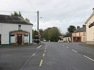
Mountnugent, historically known as Dalysbridge, is a village and townland in southern County Cavan, Ireland. The village is on the R154 regional road, at a river crossing near Lough Sheelin.

The River Fane is a river flowing from Co. Monaghan to Dundalk Bay in Co. Louth, Ireland.
Slevoir is a townland in the Barony of Ormond Lower, County Tipperary, Ireland. It is located in the civil parish of Terryglass overlooking Slevoir Bay, the most north-eastern part of Lough Derg
Cloncollow is a townland in the Parish of Tomregan, Barony of Loughtee Lower, County Cavan, Ireland.

Garadice Lough (Irish: Loch Guth Ard Deas, also known as Garadice Lake or Lough Garadice, is a freshwater lake in County Leitrim, Ireland. It is located in the south of the county and now forms part of the Shannon–Erne Waterway.
Callows are a type of wetland found in Ireland. They are a seasonally flooded grassland ecosystem found on low-lying river floodplains.
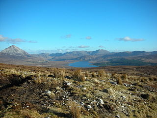
Lough Nacung Upper, also known as Upper Lough Nacung, is a lough in Gaoth Dobhair, a district in the north-west of County Donegal in Ulster, the northern province in Ireland. It connects Lough Dunlewey to Lough Nacung Lower, which drains into the Clady River. Lough Nacung is a Special Area of Conservation.
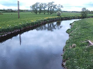
The River Main or Maine is a river in Northern Ireland, flowing through County Antrim.
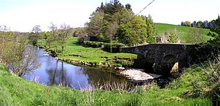
The River Faughan is a river in northwest Northern Ireland.
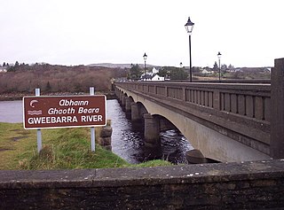
The River Gweebarra is a river in north County Donegal, Ireland.

Tirnawannagh is a townland in the civil parish of Templeport, County Cavan, Ireland. It lies in the Roman Catholic parish of Corlough and barony of Tullyhaw.
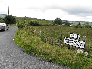
Carrick West,, is a townland in the civil parish of Templeport, County Cavan, Ireland. It is named Carrick West or Carrick Hassard to distinguish it from Carrick East or Carrick Fisher townland which is in Templeport parish. It lies in the Roman Catholic parish of Glangevlin and barony of Tullyhaw.

Corratawy, an Anglicisation of the Gaelic, ‘Corr an tSamhaidh’ meaning The Round Hill of the Sorrel Herb, is a townland in the civil parish of Templeport, County Cavan, Ireland. It lies in the Roman Catholic parish of Glangevlin and barony of Tullyhaw. The local pronunciation is Curratavy.

Derrylahan, an Anglicisation of the Gaelic, ‘Doire Leathan’ meaning The Wide Oak-wood, is a townland in the civil parish of Templeport, County Cavan, Ireland. It lies in the Roman Catholic parish of Glangevlin and barony of Tullyhaw.

Derrynananta Lower, an Anglicisation of the Gaelic, ‘Doire na Neannta Íochtar’, meaning The Lower Oak-wood of the Nettles, is a townland in the civil parish of Templeport, County Cavan, Ireland. It lies in the Roman Catholic parish of Glangevlin and barony of Tullyhaw.
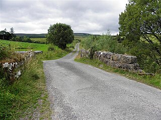
Derrynananta Upper, an Anglicisation of the Gaelic, ‘Doire na Neannta Uachtarach’, meaning The Upper Oak-wood of the Nettles, is a townland in the civil parish of Templeport, County Cavan, Ireland. The townland lies in the Roman Catholic parish of Glangevlin and barony of Tullyhaw. In the 19th century, it was also known as Derrynananta Lodge, after a shooting-lodge there called Glengavlen Lodge, which was owned by John Cole, 2nd Earl of Enniskillen.

Lattone, an Anglicisation of the Gaelic, ‘Leath Tóin’ meaning The Half-Side of a Hollow, i.e. ‘A Hillside’ is a townland in the civil parish of Templeport, County Cavan, Ireland. It lies in the Roman Catholic parish of Glangevlin and barony of Tullyhaw.
