
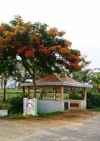
12°22′37″N76°49′27″E / 12.376966°N 76.824045°E Kodagahalli is a small village in Mysore district of Karnataka state, India.
12°22′37″N76°49′27″E / 12.376966°N 76.824045°E Kodagahalli is a small village in Mysore district of Karnataka state, India.
Kodagahalli is located between Bannur and Srirangapatna on Karighatta road. [1] [2] [3]

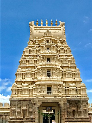
Srirangapatna is a town and headquarters of one of the seven Taluks of Mandya district, in the Indian State of Karnataka. It gets its name from the Ranganthaswamy temple consecrated at around 984 CE. Later, under the British rule the city was renamed to Seringapatnam. Located near the city of Mandya, it is of religious, cultural and historic importance.

Mysore State, colloquially Old Mysore, was a state within the Dominion of India and the subsequent Republic of India from 1947 until 1956. The state was formed by renaming the Kingdom of Mysore, and Bangalore replaced Mysore as the state's capital. When Parliament passed the States Reorganisation Act in 1956, Mysore State was considerably enlarged when it became a linguistically homogeneous Kannada-speaking state within the Republic of India by incorporating territories from Andhra, Bombay, Coorg, Hyderabad, and Madras States, as well as other petty fiefdoms. It was subsequently renamed Karnataka in 1973.

Mysore division, officially Mysuru division, is an administrative division in the southern Indian state of Karnataka. It is one of four administrative divisions in Karnataka, the others being Bangalore division, Belgaum division, and Gulbarga division. Mysore division comprises eight districts of Karnataka, namely, Chamarajanagar, Chikmagalur, Dakshina Kannada, Hassan, Kodagu, Mandya, Mysore and Udupi district. The city of Mysore is the administrative headquarters of the division. Mysore division covers parts of historical Old Mysore region and southern part of Coastal Karnataka.The total area of the division is 43,503 sq.km. The total population as of 2011 census is 12,563,598.

Bannur is a municipality in Mysore district in the state of Karnataka, India.

Adibettahalli is a village in the southern state of Karnataka, India. It is located in the Tirumakudal Narsipur taluk of Mysore district in Karnataka.

Yachenahalli is a panchayat town in Mysore district in the state of Karnataka, India. It is located 35 km from Mysore and 17 km from Mandya. The nearest city is Bannur with 10 km distance.

Daripura is a small village in Mysore, Karnataka province, India.
Varuna is a village in Mysore district of Karnataka state, India.

Konanur or Paduvalamarahalli is a village in Nanjangud taluk of Mysore district, Karnataka state, India.
Naganahalli is a small village in Mysuru district of Karnataka state, India.
Kallahalli is a village in Mysore district of Karnataka state, India. It is the home village of Devraj Urs former chief minister of Karnataka. It is commonly mistaken to be his birthplace, which is actually Bettadatunga located about 26 kilometres away.
Hale Kesare is a small village in Mysore district of Karnataka state in India.

Mandi Mohalla, K.T.Street or Ashoka Road, is a suburb of Mysore city in Karnataka state of India.

Mududi is a village in Arsikere taluk of Hassan district in India.
Shivapura is a small village next to Maddur in Mandya district of Karnataka state, India.
