Mining is the extraction of valuable geological materials from the Earth and other astronomical objects. Mining is required to obtain most materials that cannot be grown through agricultural processes, or feasibly created artificially in a laboratory or factory. Ores recovered by mining include metals, coal, oil shale, gemstones, limestone, chalk, dimension stone, rock salt, potash, gravel, and clay. The ore must be a rock or mineral that contains valuable constituent, can be extracted or mined and sold for profit. Mining in a wider sense includes extraction of any non-renewable resource such as petroleum, natural gas, or even water.

Underground hard-rock mining refers to various underground mining techniques used to excavate "hard" minerals, usually those containing metals, such as ore containing gold, silver, iron, copper, zinc, nickel, tin, and lead. It also involves the same techniques used to excavate ores of gems, such as diamonds and rubies. Soft-rock mining refers to the excavation of softer minerals, such as salt, coal, and oil sands.

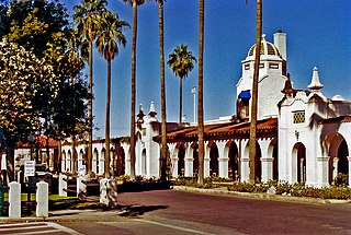
Ajo is an unincorporated community in Pima County, Arizona, United States. It is the closest community to Organ Pipe Cactus National Monument. The population was 3,304 at the 2010 census. Ajo is located on State Route 85 just 43 miles (69 km) from the Mexican border.

Bonne Terre is a city in St. Francois County, Missouri, United States with a population of 6,864 at the 2010 census. Situated in the Southeast Missouri Lead District, lead mining shaped the history and character of the area from the earliest French settlers in the 1720´s until today, even though Bonne Terre Mine established by St. Joseph lead mining company in 1864 closed in 1962. Mine tailing piles eroded, and contaminated the area as dust, posing residential hazards or were washed into the Big River. Only in 1992, the Bonne Terre Mine Tailings Site was listed as a Superfund Site; as of 2022 remediation is still ongoing.

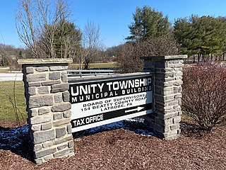
Unity Township is a township in Westmoreland County, Pennsylvania, United States. The population was 21,724 at the 2020 census, a decline of approximately 4% compared to the 2010 census.

Hillsboro is an unincorporated community in Sierra County, New Mexico, United States, located in the southwestern part of the state. It was founded in 1877, following the discovery of gold. The community was the county seat of Sierra County from 1884 until 1936, when Hot Springs became the county seat.

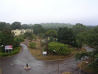
Noamundi is a census town in West Singhbhum district in the Indian state of Jharkhand. It is also an administrative block. It is a small mining town located close to the Odisha border. It lies near Jamshedpur and 64 km (40 mi) from Chaibasa. Nearby towns include Padapahar, Barajamda, jagannathpur, Kharsawan, Gua and Kiriburu.
Sundergarh is a town in Sundergarh district of the Indian state of Odisha. As of 2011 census, the municipality had a population of 45,036. Sundargarh is recognized as an industrial district in Odisha. Steel, fertilizer, cement, ferrovanadium, machine-building, glass, china-clay plants and factories, and spinning mills are some of the major industries of this district. Sundargarh occupies a prominent position in the mineral map of Odisha and is rich in iron ore, limestone, and manganese.
Barbil is a city and a Municipal Council in the Kendujhar district of the state of Odisha, India. The region around Barbil has one of the largest deposits of iron ore and manganese ore in the world. It is a major source of revenue generation for both the central and the state governments.
Joda Town is a small mining camp town, popularly known as Joda Municipality Town or Joda Block, located near Barbil City or Barbil Tahsil which is only 14km away from. Joda Town is surrounded by the well-known Mahendragiri Parvat Shrunkhala- a ancient series of hills described in history of Bharata Varsha and in the epic Ramayana and Mahabharata, which are spread in from Keonjhar to Sundargarh, Koraput, Kandhamal, Rayagada and Visakhapatnam.

Kendujhar District, is an administrative district of Odisha. The district is one of the fifth Scheduled Areas of Odisha. The town of Kendujhar is the district headquarters. The district has three sub-divisions, Anandapur, Champua, and Kendujhar.
Meru is a census town in the Sadar, Hazaribagh CD block in the Hazaribagh Sadar subdivision of the Hazaribagh district in the Indian state of Jharkhand.
Tambao is a Manganese deposit and potential mine site in the Oudalan Province, located in the Sahel Region, which the far northeastern part of Burkina Faso. Tambao has been estimated, when exploited, to be one of the largest deposits in the region. Its development, a major priority of the Burkinabe state, has been an on and off project since the 1990s. Barely served by roads or other infrastructure, the Tambao reserves are some 210 kilometres (130 mi) north of Kaya and 350 kilometres (220 mi) northeast of the capital, namely Ouagadougou. The Tambao Airport has been recently built to serve the deposit and the corresponding villages.

Gold Town or OarVille is a former settlement in Kern County, California. It was located 9.5 miles (15 km) north of Rosamond, at an elevation of 2,713 feet (827 m).

The Tri-State district was a historic lead-zinc mining district located in present-day southwest Missouri, southeast Kansas and northeast Oklahoma. The district produced lead and zinc for over 100 years. Production began in the 1850s and 1860s in the Joplin - Granby area of Jasper and Newton counties of southwest Missouri. Production was particularly high during the World War I era and continued after World War II, but with declining activity. As jobs left the area, the communities declined in population.

The Khandadhar Falls is located at Nandapani, Bonaigarh in Sundargarh district in the Indian state of Odisha. It is the 9th highest waterfall in India and second highest waterfall in Odisha after Barehipani Falls in Mayurbhanj.

SOMAIR is a national mining company of Niger in the mining area of its northern zone. Established in 1968, it started uranium mining at the Arlit deposit in 1971, mining 0.30 - 0.35% ore down to depth of 60 metres (200 ft) depth. By 1981, the company was producing 2100 tU/yr and by 2006 it was producing 1565 tU at the Tamou deposit. The production peaked to 3065 tU in 2012. The resources, according to the Red Book, are assessed at 23,170 tU, as of 2010, at 42,200 tU of 0.25%U grade recoverable conventionally, and 5500 tU of 0.07%U grade from heap leaching. SOMAIR is one of two national mining companies in Niger, the other being COMINAK in the nearby Akokan.
COMINAK is a national uranium mining company of Niger.

The environmental impact of Iron ore mining in all its phases from excavation to beneficiation to transportation may have detrimental effects on air quality, water quality, and biological species.This is as a result of the release of large scale of iron ore tailings( solid wastes produced during the beneficiation process of iron ore concentrate) into the environment which are harmful to both animals and humans.
Gurdari is a village/ Bauxite mining centre in the Bishunpur CD block in the Gumla subdivision of the Gumla district in the Indian state of Jharkhand.


